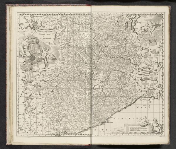
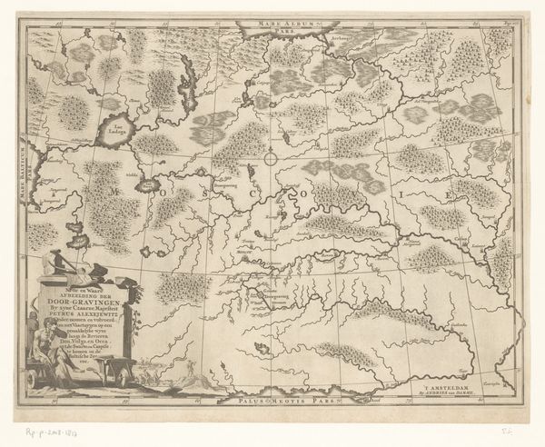
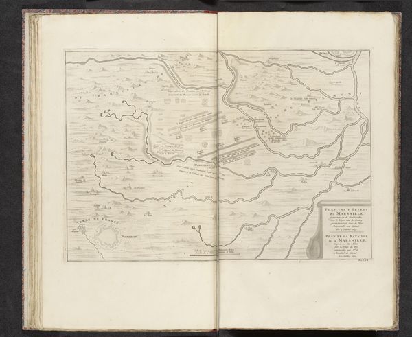
Kaart van het strijdtoneel tegen de Turken in Hongarije, ca. 1683-1695 1685 - 1729
0:00
0:00
anonymous
Rijksmuseum
print, paper, engraving
#
aged paper
#
baroque
# print
#
pen sketch
#
sketch book
#
hand drawn type
#
landscape
#
paper
#
personal sketchbook
#
pen-ink sketch
#
line
#
pen work
#
sketchbook drawing
#
history-painting
#
storyboard and sketchbook work
#
sketchbook art
#
engraving
#
realism
Dimensions: height 462 mm, width 585 mm
Copyright: Rijks Museum: Open Domain
Editor: Here we have an interesting engraving from around 1685 to 1729, “Kaart van het strijdtoneel tegen de Turken in Hongarije,” which translates to "Map of the battlefield against the Turks in Hungary." It’s anonymous and printed on paper. It has this amazing antique feel, the kind that just draws you into history. How would you interpret the symbolic power embedded in a map like this? Curator: The map is fascinating. Beyond its practical function, maps during this period often served as powerful visual rhetoric. Think about what this represents: territory, power, and the visual encoding of conflict. It presents a particular worldview. The sharp lines and detailed rendering, while seemingly objective, highlight control. Who produced this and for what audience? What cultural anxieties might it reflect, especially considering the Ottoman presence in Europe at the time? Editor: That’s a good point about the intended audience shaping the message. The very act of mapping – defining boundaries – is itself an act of asserting dominance, right? Like, drawing the lines makes it so. Curator: Precisely. Maps function as both record and aspiration, reflecting existing power dynamics while simultaneously projecting desired outcomes. Notice the visual emphasis – the cities marked, the rivers defined. These are not merely geographic features, but symbols of control and resources. The symbols used resonate differently depending on the cultural lens applied. Editor: So, deciphering these symbols unlocks a deeper understanding of the anxieties and power plays of the time? What did Hungary and the Turks symbolize in Europe? Curator: They represented a clash of civilizations, deeply ingrained fears, and desires regarding territorial control and religious influence. This wasn’t just about land; it was about identity and dominance visualized. To understand the emotional resonance, imagine seeing this map in a period when conflict was actively raging in those territories. Editor: It’s amazing to think about how something that seems so factual could be such a potent symbol. Thank you! I'll definitely look at maps differently from now on. Curator: Indeed. Examining seemingly objective representations can reveal the deeper currents of cultural memory and political ambition that shape our perception of the world. A fruitful starting point!
Comments
No comments
Be the first to comment and join the conversation on the ultimate creative platform.
More like this