drawing, print, ink, engraving
#
drawing
#
pen drawing
#
neat line work
# print
#
pen illustration
#
pen sketch
#
landscape
#
ink line art
#
linework heavy
#
ink
#
geometric
#
pen-ink sketch
#
thin linework
#
pen work
#
sketchbook drawing
#
northern-renaissance
#
engraving
#
regionalism
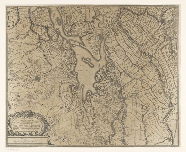
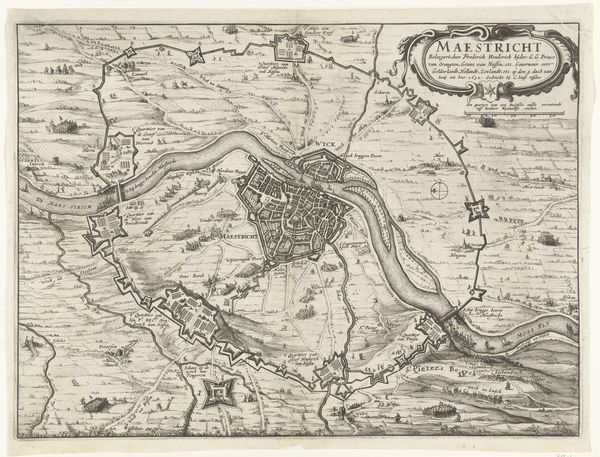
Dimensions: height 308 mm, width 705 mm
Copyright: Rijks Museum: Open Domain
Joost Jansz. Bilhamer made this map of Noord-Holland in the 16th century. It shows the northern part of the province, revealing more than just geography. It is a window into the social, economic, and political landscape of the time. Maps like these played a crucial role in asserting control over territory. This one, produced in the Netherlands, highlights the region's intricate network of waterways, reflecting the importance of trade and navigation. During this period, the Dutch Republic was emerging as a major maritime power. The map is a symbol of the cultural pride of the time, but also served an important function in defining territorial boundaries. Historians of cartography can use maps like these alongside other archival resources, such as trade records and political documents, to understand how geographical knowledge was shaped and deployed in the service of state power. They serve as reminders that art is never created in a vacuum, but is deeply embedded in social and institutional contexts.
Comments
No comments
Be the first to comment and join the conversation on the ultimate creative platform.
More like this