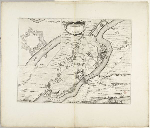
print, engraving
#
aged paper
# print
#
old engraving style
#
landscape
#
river
#
cityscape
#
engraving
Dimensions: height 127 mm, width 182 mm
Copyright: Rijks Museum: Open Domain
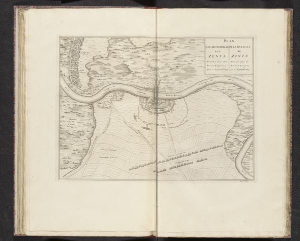
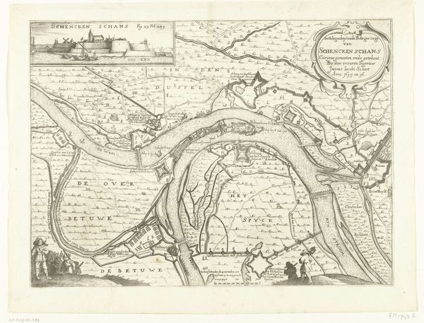
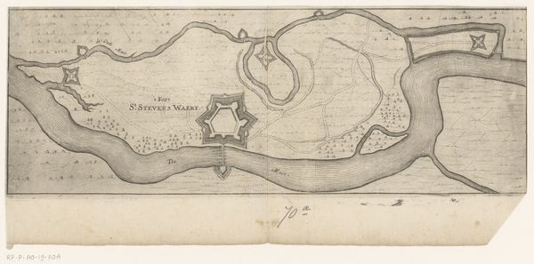
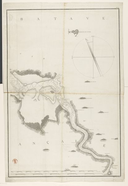
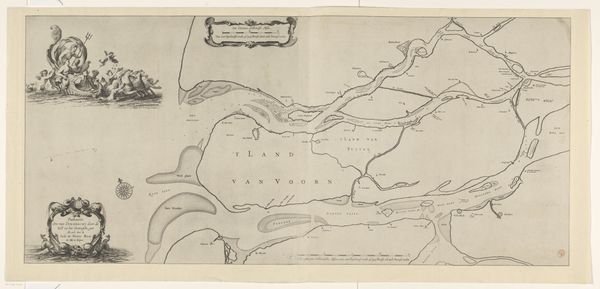
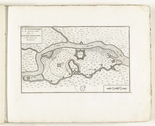
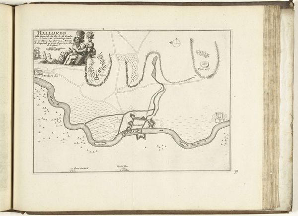
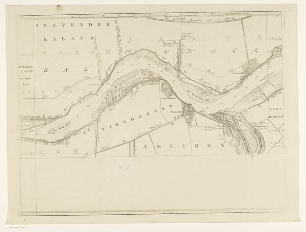
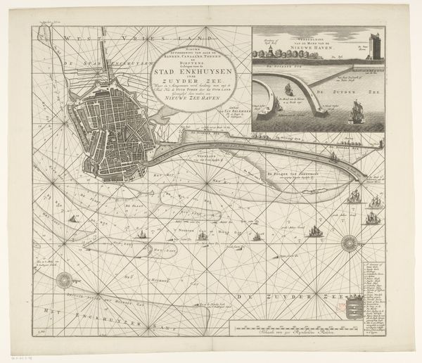
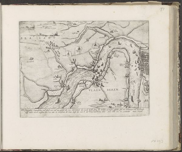
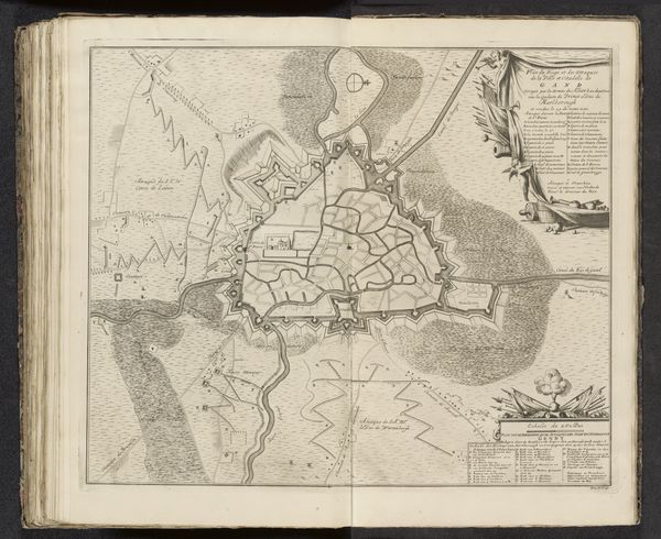
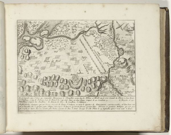
This is an etched map of the Tiber River, made in the late 17th century by Giovanni Battista Falda. The printmaking process, particularly etching, was crucial to distributing information at the time. The lines you see were created by coating a metal plate with wax, then scratching through it to expose the metal. Dipping the plate in acid would then bite away at the exposed lines, allowing them to hold ink. The whole plate would be inked, wiped clean, and then paper would be pressed against it, transferring the image. The very act of etching—a painstaking process requiring skilled labor—mirrors the careful attention and investment in infrastructure that would have been necessary to manage a river like the Tiber. Looking at this map, consider the intensive labor involved in both its creation and the management of the river it depicts. The print democratized geographical knowledge, while also subtly underlining the power dynamics of landscape control.
Comments
No comments
Be the first to comment and join the conversation on the ultimate creative platform.
