print, paper, ink, engraving
#
dutch-golden-age
#
ink paper printed
# print
#
old engraving style
#
paper
#
ink
#
geometric
#
genre-painting
#
history-painting
#
engraving
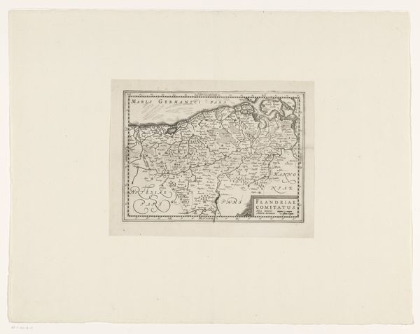
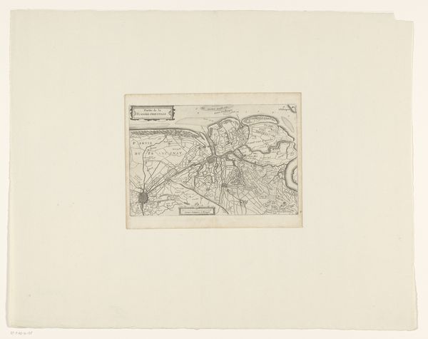
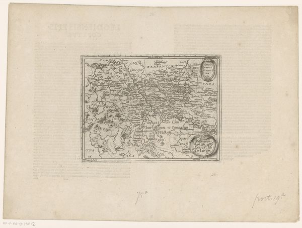
Dimensions: height 156 mm, width 234 mm
Copyright: Rijks Museum: Open Domain
This anonymous map of the county of Holland presents a bird's-eye view crafted with delicate lines, evoking a sense of historical precision. The composition is dominated by the intricate network of waterways and land divisions, forming a complex, almost abstract pattern. The network of interconnected lines invites us to consider the map not just as a tool for navigation, but as a representation of power structures and territorial claims. The map's structure, with its imposed grid-like organization, reflects a desire to impose order on the natural landscape. This speaks to the broader philosophical concern of humanity's relationship with nature, and the impulse to categorize and control the environment. Ultimately, this detailed mapping is a cultural artifact that embodies the intersection of cartography, politics, and perception. It reminds us that maps are not neutral reflections of reality, but are constructed representations shaped by specific agendas and worldviews.
Comments
No comments
Be the first to comment and join the conversation on the ultimate creative platform.
More like this