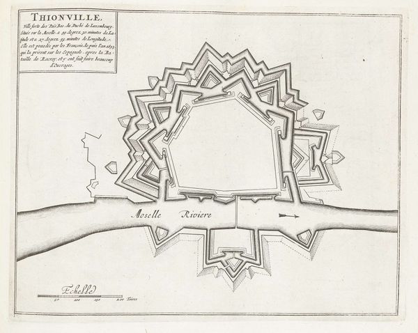
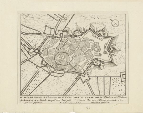
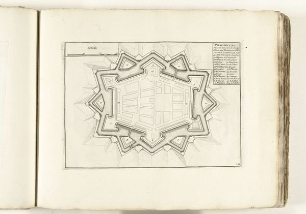
print, engraving
#
baroque
#
dutch-golden-age
# print
#
geometric
#
geometric-abstraction
#
line
#
cityscape
#
engraving
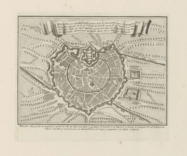
Dimensions: height 242 mm, width 273 mm
Copyright: Rijks Museum: Open Domain
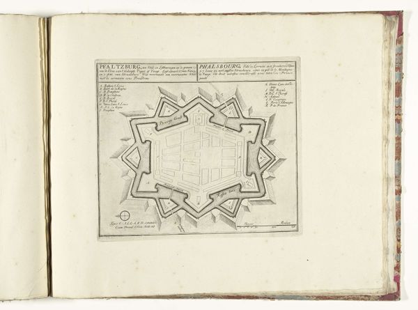
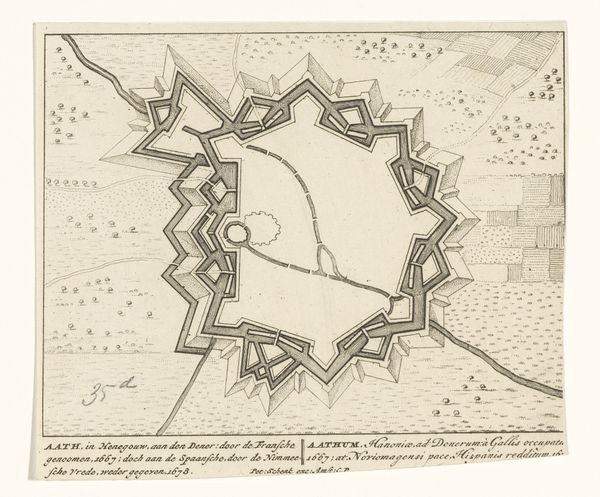
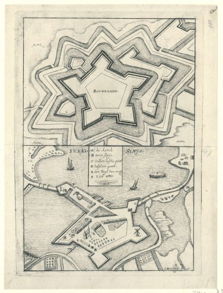
This is Abraham Allard's "Plattegrond van Pfalzburg," printed in Amsterdam, likely around the turn of the 18th century. This topographic map presents a bird's-eye view of Pfalzburg, emphasizing its geometrically rigorous fortifications. The strength of this print lies in its detailed rendering of spatial organization. Allard uses precise linework to differentiate between the town’s layout and its defensive structures. Note the contrast between the organic arrangement of the town's interior and the star-shaped, symmetrical pattern of the fort. The geometric regularity speaks to a conceptual order imposed upon the landscape, reflecting both military strategy and the aesthetic values of the period. This map functions not just as a practical guide, but as a symbolic representation of power and control, where form dictates function within a broader cultural and philosophical context.
Comments
No comments
Be the first to comment and join the conversation on the ultimate creative platform.
More like this