drawing, print, ink, engraving
#
drawing
# print
#
pen illustration
#
pen sketch
#
old engraving style
#
ink line art
#
ink
#
geometric
#
cityscape
#
engraving
Dimensions: height 164 mm, width 188 mm
Copyright: Rijks Museum: Open Domain
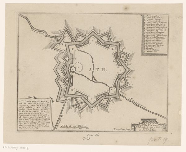
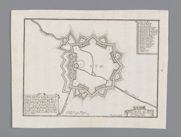
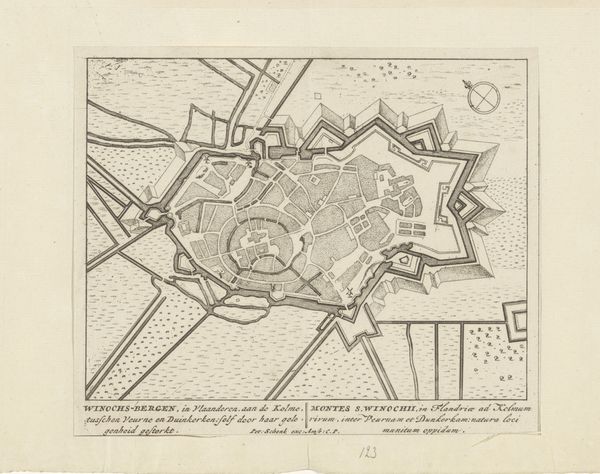
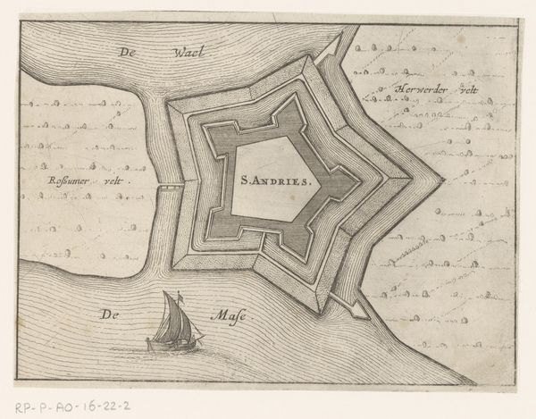
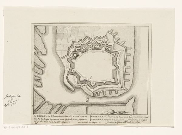
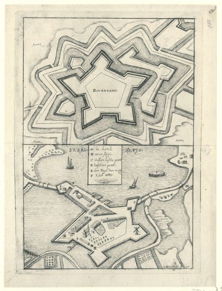
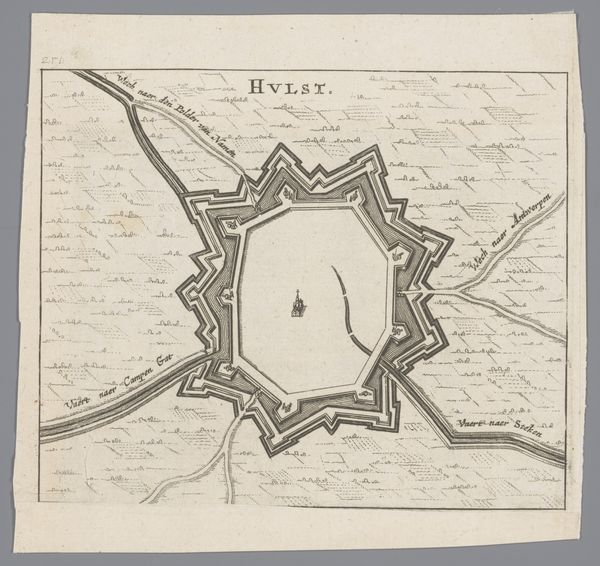
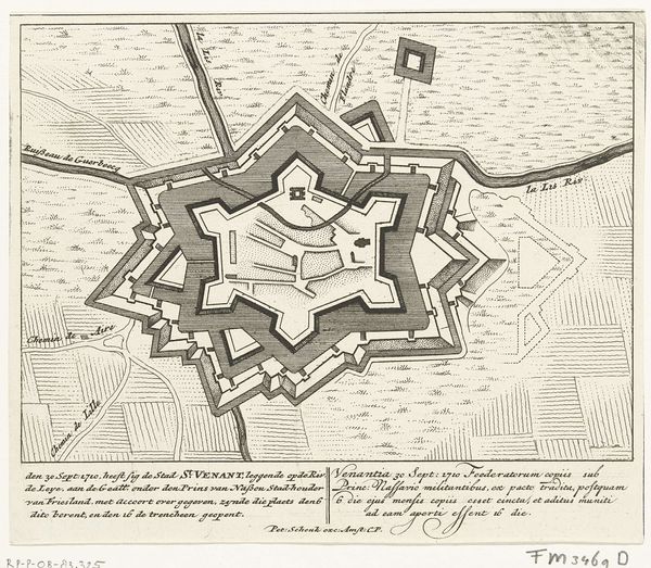
This is an anonymous print depicting the fortified town of Ath, made sometime around 1678. Produced during a period of intense geopolitical struggle between France and Spain, such prints served a dual purpose. They documented territorial control and also functioned as propaganda, celebrating military prowess and national identity. The image emphasizes the geometric precision of the fortifications. This wasn't just about military strategy; it reflected a broader cultural fascination with order and reason during the early modern period. The detailed rendering suggests the importance of accurate visual records in military planning and administration. To understand this image fully, we must consult historical archives, military records, and period maps. These resources can provide a fuller picture of the political, social, and institutional contexts that shaped the production and reception of such images. The meaning of art is always contingent on its historical context.
Comments
No comments
Be the first to comment and join the conversation on the ultimate creative platform.
More like this