drawing, print, etching, ink
#
drawing
#
baroque
# print
#
etching
#
ink
#
cityscape
Dimensions: height 241 mm, width 272 mm
Copyright: Rijks Museum: Open Domain
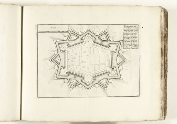
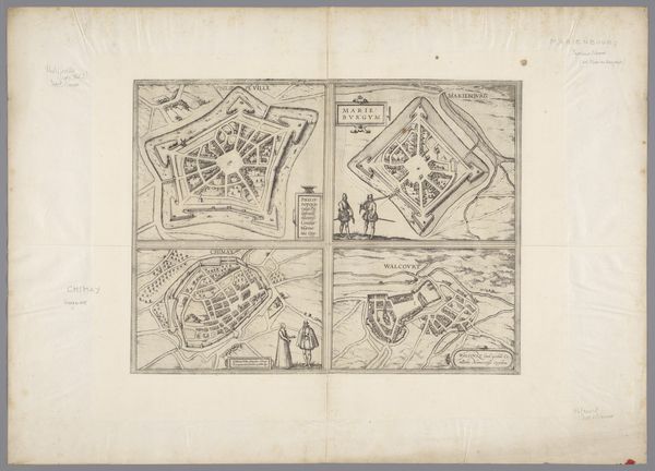
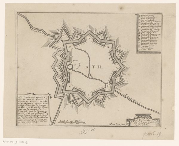
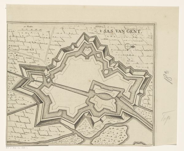
This is Abraham Allard’s “Plattegrond van Pfalzburg”, made around 1701-1713. Allard, born in Amsterdam, was part of a family known for mapmaking, and here he offers us an engraved bird's-eye view of Pfalzburg. But, this isn't just a map; it’s a statement of power. Look at the formidable star shape of the city’s fortifications. The design speaks volumes about 18th-century military strategy and the constant threat of war. The city, now in France, was built in a contested region, a pawn between French and German powers. Allard's precise lines and details not only chart geographical space, they also illustrate political ambitions, the desire to control and defend territory. Consider the emotional weight of this representation. A map like this determined who was safe and who was vulnerable, who had access and who was excluded. In essence, Allard’s “Plattegrond van Pfalzburg” invites us to reflect on how space is not just geographical, but also deeply personal and political.
Comments
No comments
Be the first to comment and join the conversation on the ultimate creative platform.
More like this