print, woodcut, engraving
# print
#
pen illustration
#
old engraving style
#
landscape
#
woodcut
#
islamic-art
#
engraving
Dimensions: height 428 mm, width 565 mm
Copyright: Rijks Museum: Open Domain
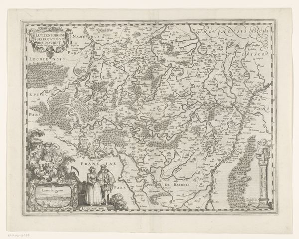
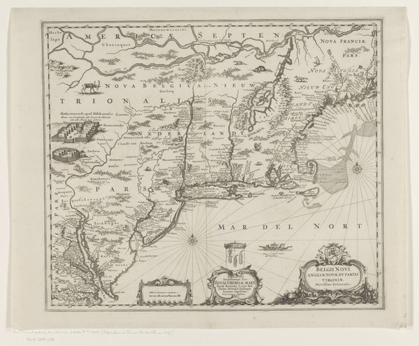
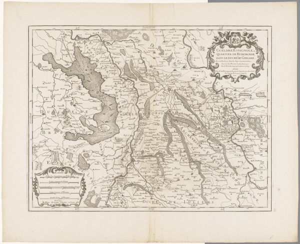
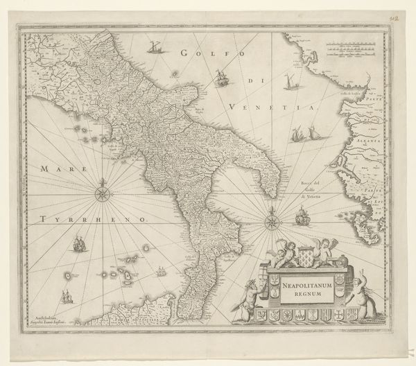
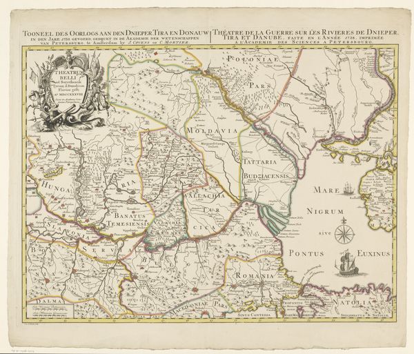
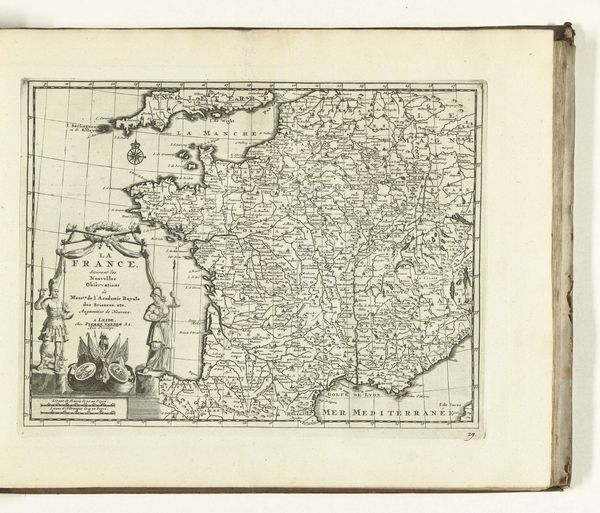
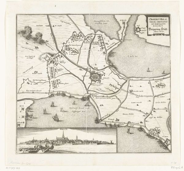
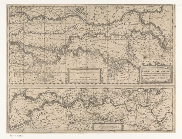
This is a map of West Africa, created in the Netherlands by Johannes Janssonius van Waesberge. Made during the 17th century, it presents us with a window into the relationship between Europe and Africa at the time. Note the strategic placement of ships and the symbolic figures surrounding the title cartouche. In that period, cartography was not merely about geographical accuracy; it was an expression of power and knowledge. The map reflects the economic interests of the Dutch in West Africa, primarily focused on trade, including unfortunately the slave trade. How does the map represent the inland territories? How might the accuracy of the coastal regions contrast with the more speculative depiction of the interior? By studying maps like this, we can better understand the history of colonialism and how Europe’s perception of Africa was shaped. Consider the role of the Rijksmuseum itself in preserving and presenting such artifacts, inviting us to critically engage with this complex past.
Comments
No comments
Be the first to comment and join the conversation on the ultimate creative platform.
