print, engraving
#
baroque
# print
#
landscape
#
cityscape
#
engraving
Dimensions: height 305 mm, width 390 mm
Copyright: Rijks Museum: Open Domain
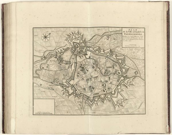
This anonymous map of Menen, created in 1706, uses ink on paper to depict not just geography but strategic power. The eye is immediately drawn to the structured, star-shaped fortress at its center, a visual embodiment of military architecture. Linear precision dominates, defining the layout of the city and its surrounding landscapes. This piece is more than a simple representation; it's a semiotic system, communicating defenses, access routes, and territorial claims through lines and carefully marked spaces. The formal rigidity of the map reflects the rational planning of the era, where space was not just physical but a field of power. The repetitive patterns of fields and fortifications suggest a world ordered and controlled. Consider the interplay between the organic, irregular lines of the rivers and the geometric precision of the fortress. This contrast highlights a tension between nature and human control, a common theme in cartography. The map invites us to decode its visual language, revealing how lines and forms were used to assert dominance.
Comments
No comments
Be the first to comment and join the conversation on the ultimate creative platform.
More like this