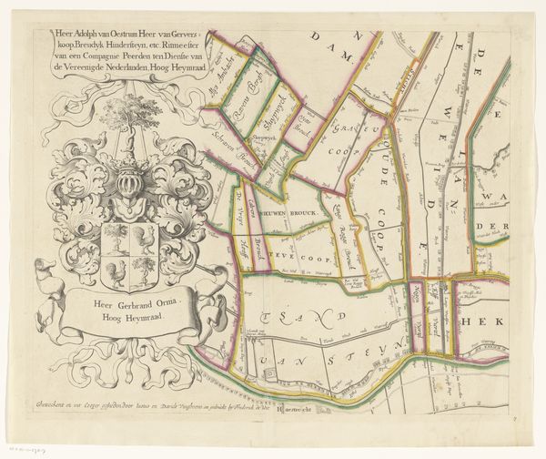
Kaart van het Hoogheemraadschap van Woerden (vierde deel) 1670 - 1684
0:00
0:00
justusvinckboons
Rijksmuseum
print, engraving
# print
#
old engraving style
#
landscape
#
geometric
#
history-painting
#
engraving
Dimensions: height 421 mm, width 520 mm
Copyright: Rijks Museum: Open Domain
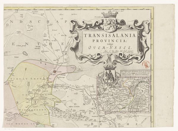
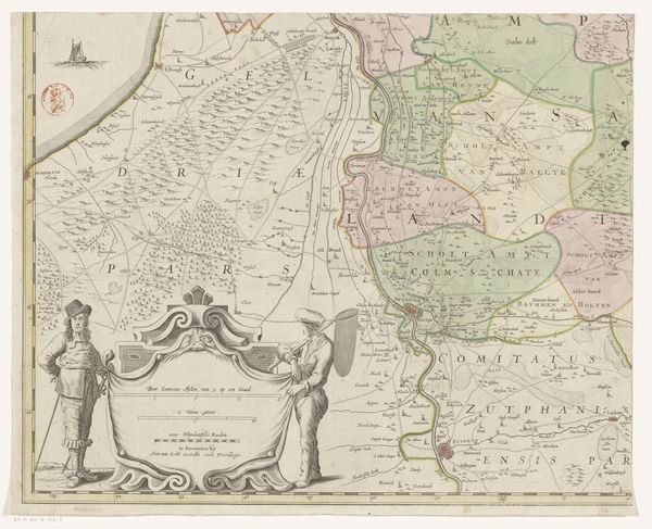
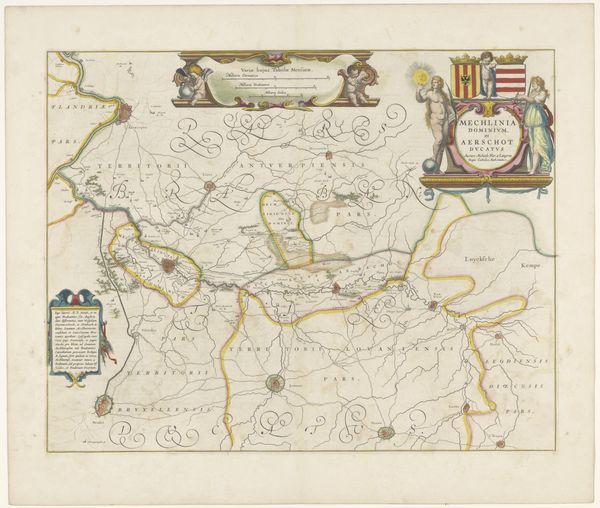
Justus Vinckboons created this map of Woerden using etching, a process that allowed for a precise articulation of form and detail. Notice how the map is structured around a network of lines, delineating waterways, boundaries, and land divisions. The controlled, elegant linework brings a sense of order to the landscape it represents. The ornate cartouches add visual weight, framing the map's informative content with symbolic imagery. The use of color helps distinguish different regions and elements. This structured composition reflects the historical context of Dutch mapmaking, where precision and clarity served both practical and symbolic functions. The map is not just a representation of space, but also of power and control over the land. By engaging with cartography through the lens of structuralism, we can decode the symbolic language that was designed to communicate specific ideas about space and society.
Comments
No comments
Be the first to comment and join the conversation on the ultimate creative platform.
More like this