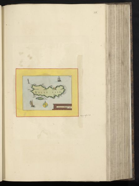
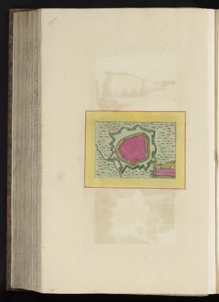
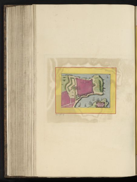
drawing, painting, paper, watercolor
#
drawing
#
baroque
#
painting
#
landscape
#
paper
#
watercolor
#
linocut print
#
cityscape
#
watercolor
Dimensions: height 178 mm, width 285 mm, height 536 mm, width 345 mm
Copyright: Rijks Museum: Open Domain
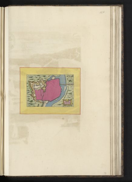
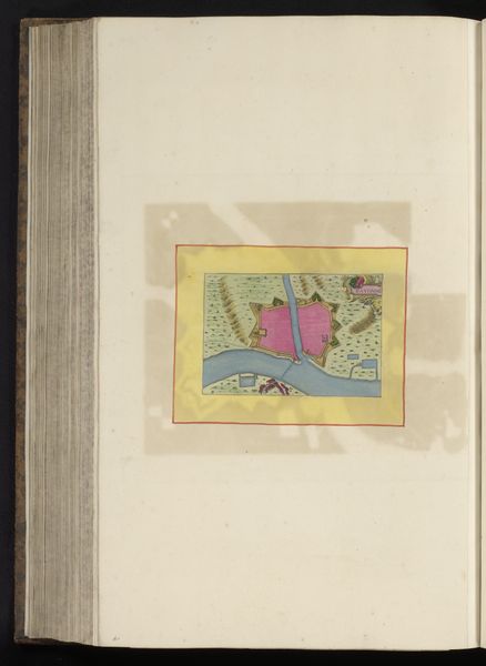
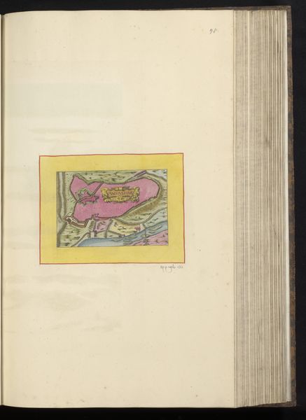
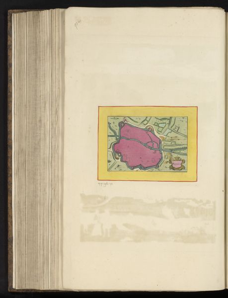
This is Matthäus Merian the Younger's rendering of "Kaart van de stad Melun," made with pen and watercolor. The striking organization of shapes and colors presents a town bisected by a river. The composition divides the town into distinct, geometric forms, with the pink of the fortressed structures and the contrasting green of the surrounding land creating an immediate visual tension. This tension invites us to consider the spatial and structural relationships at play. The river, rendered in cool blues, acts as a sinuous connective tissue, both dividing and uniting the two halves. The use of color and line is not merely descriptive, but interpretive. The bold outlines and flat planes of color, and the simple geometry, may be seen as a semiotic system—a code for understanding urban space. The map is not a literal depiction but rather a constructed representation. The visual clarity serves as a functional tool while offering a commentary on how we perceive and organize our world through symbolic structures.
Comments
No comments
Be the first to comment and join the conversation on the ultimate creative platform.
More like this