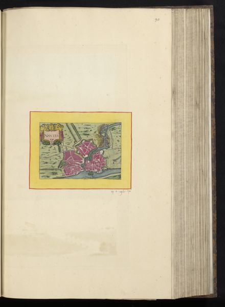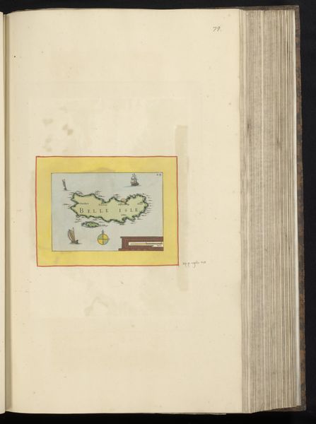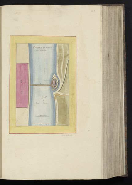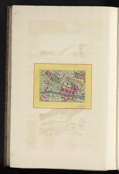
Curatorial notes
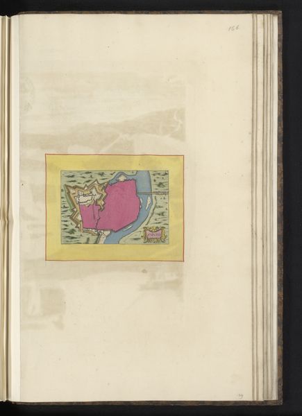
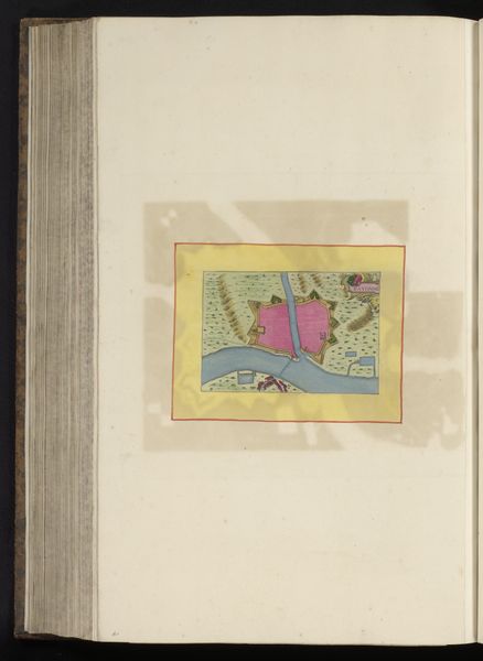
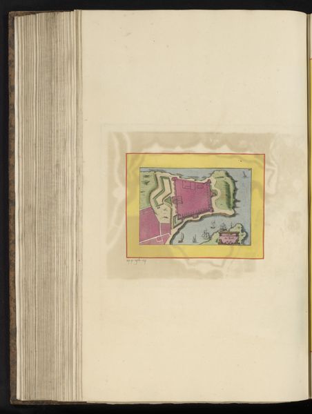
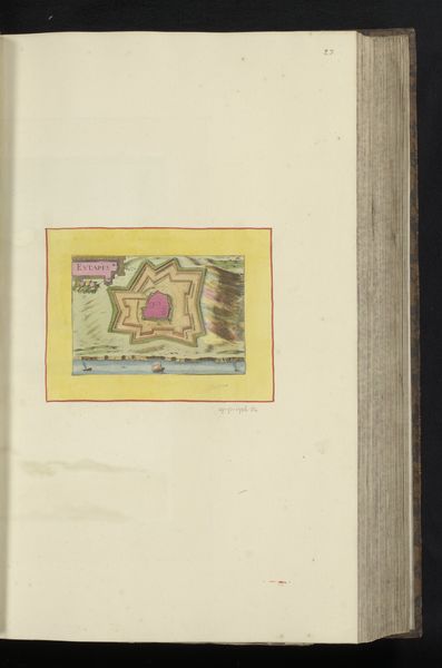
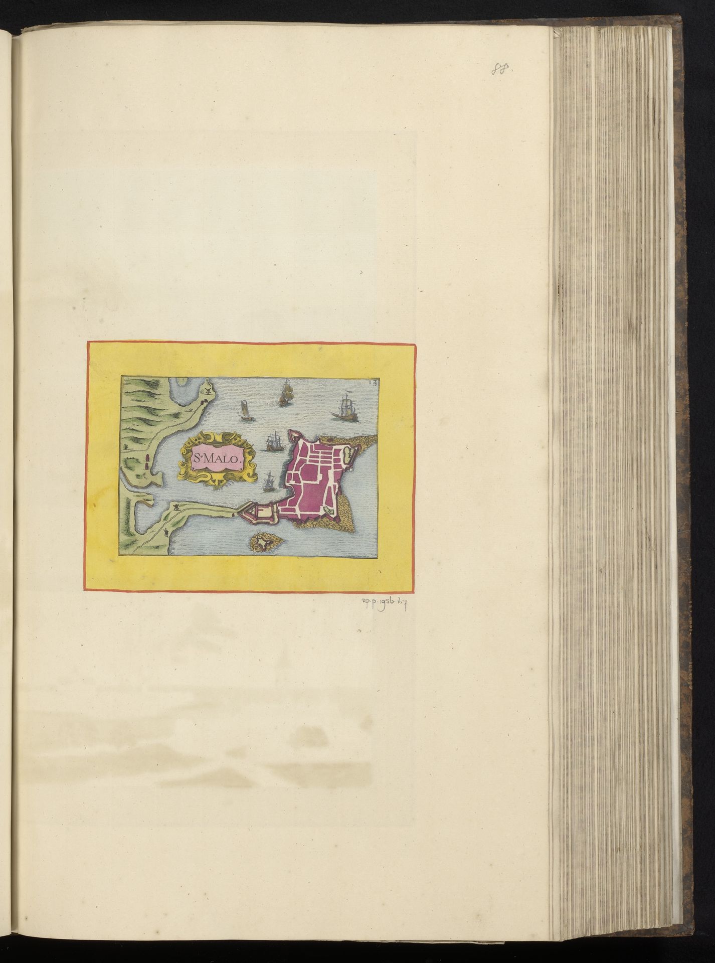
This "Plattegrond van Saint-Malo" is an anonymous drawing whose date is unknown. The striking feature of this colourful plan is its construction within a tight frame of a yellow border that creates an aesthetic zone. Visually, the plan is organized around a central landmass rendered in pink, contrasting with the blues of the surrounding sea and the greens of the adjacent land. The ships are scattered, adding depth and scale. The structured layout and use of distinct blocks of colour function semiotically, providing an orderly representation of space and navigation. The formal arrangement speaks to an early form of urban planning. This plan is less concerned with realism and more with conveying structural clarity, as evidenced by the colour choices, which are both utilitarian and symbolic. The diagrammatic form encourages a reading of the city as a set of signs, each with specific meanings and functions within the larger urban text.