drawing, print, paper, ink
#
drawing
# print
#
paper
#
ink
#
ancient-mediterranean
#
cityscape
Dimensions: height 103 mm, width 151 mm, height 532 mm, width 320 mm
Copyright: Rijks Museum: Open Domain
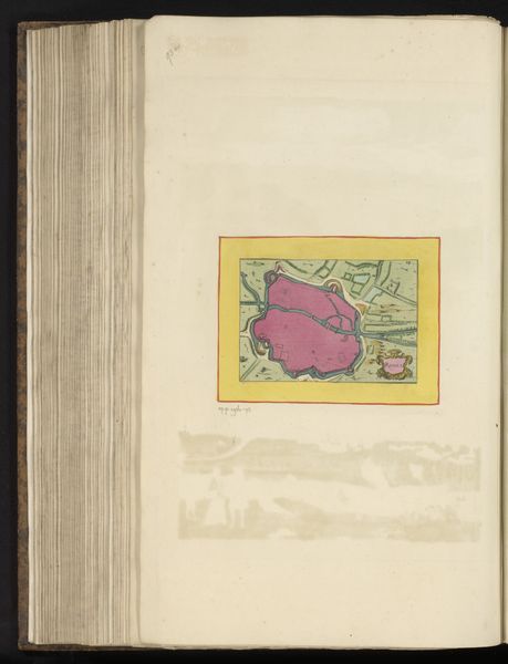
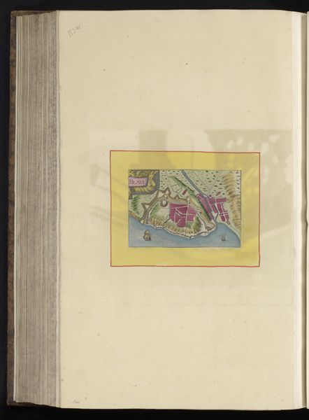
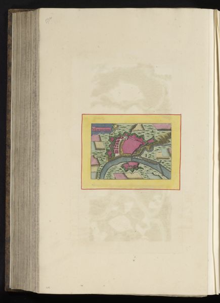
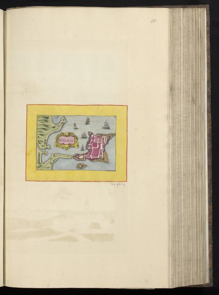
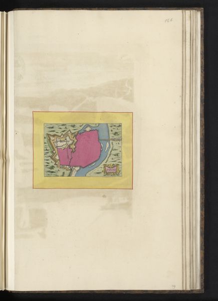
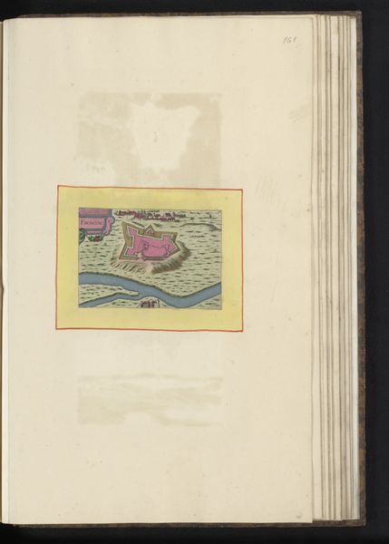
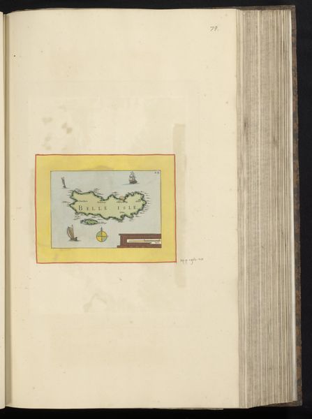
This map of Nantes was made with ink on paper by an anonymous artist. The image presents the city as a fortified space, bounded by the Loire river, which would have been vital for trade and defense. Maps like these were not just geographical tools; they were statements of power and control. Consider the precision with which the city's fortifications are rendered. This level of detail speaks to the military and administrative importance of Nantes in its time, likely the early modern period in France. Maps were commissioned by rulers and institutions to visualize and assert their dominion over territory. To truly understand this map, we need to delve into archives and historical records. What was Nantes's role in trade networks? How did its fortifications evolve over time? These are the questions that social and institutional art history seeks to answer, revealing the complex interplay between art, power, and society.
Comments
No comments
Be the first to comment and join the conversation on the ultimate creative platform.
More like this