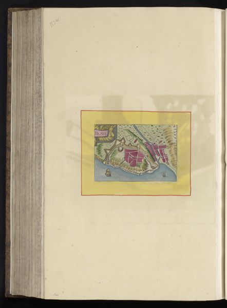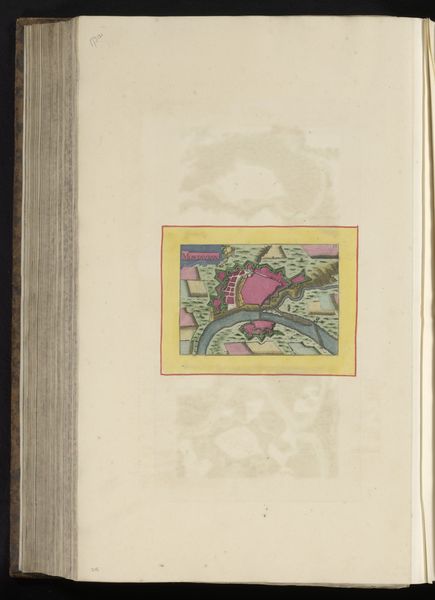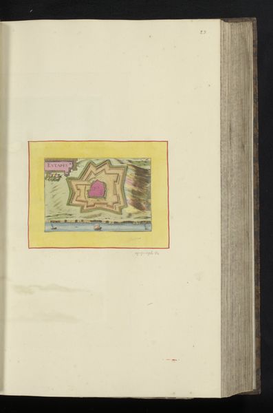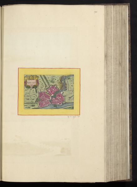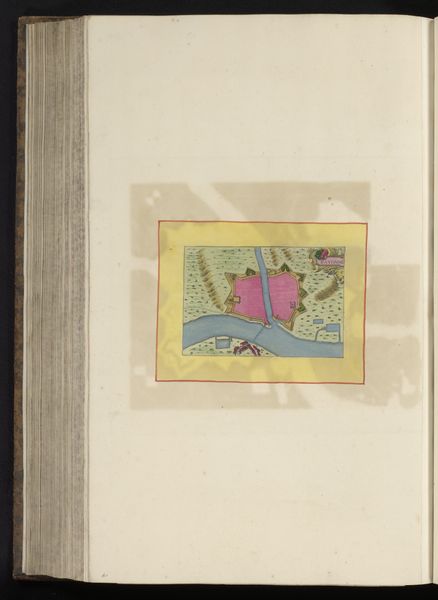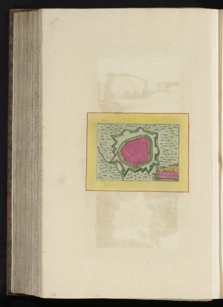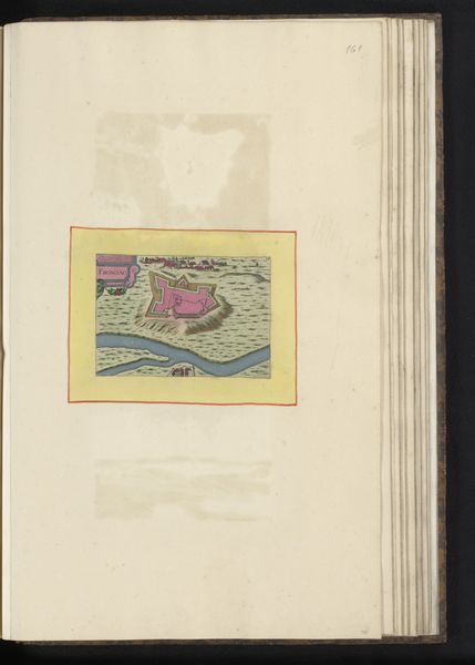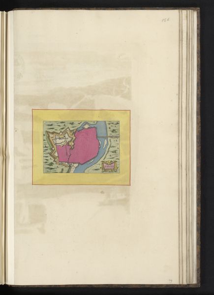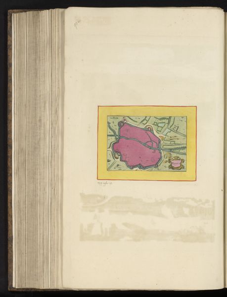
Curatorial notes
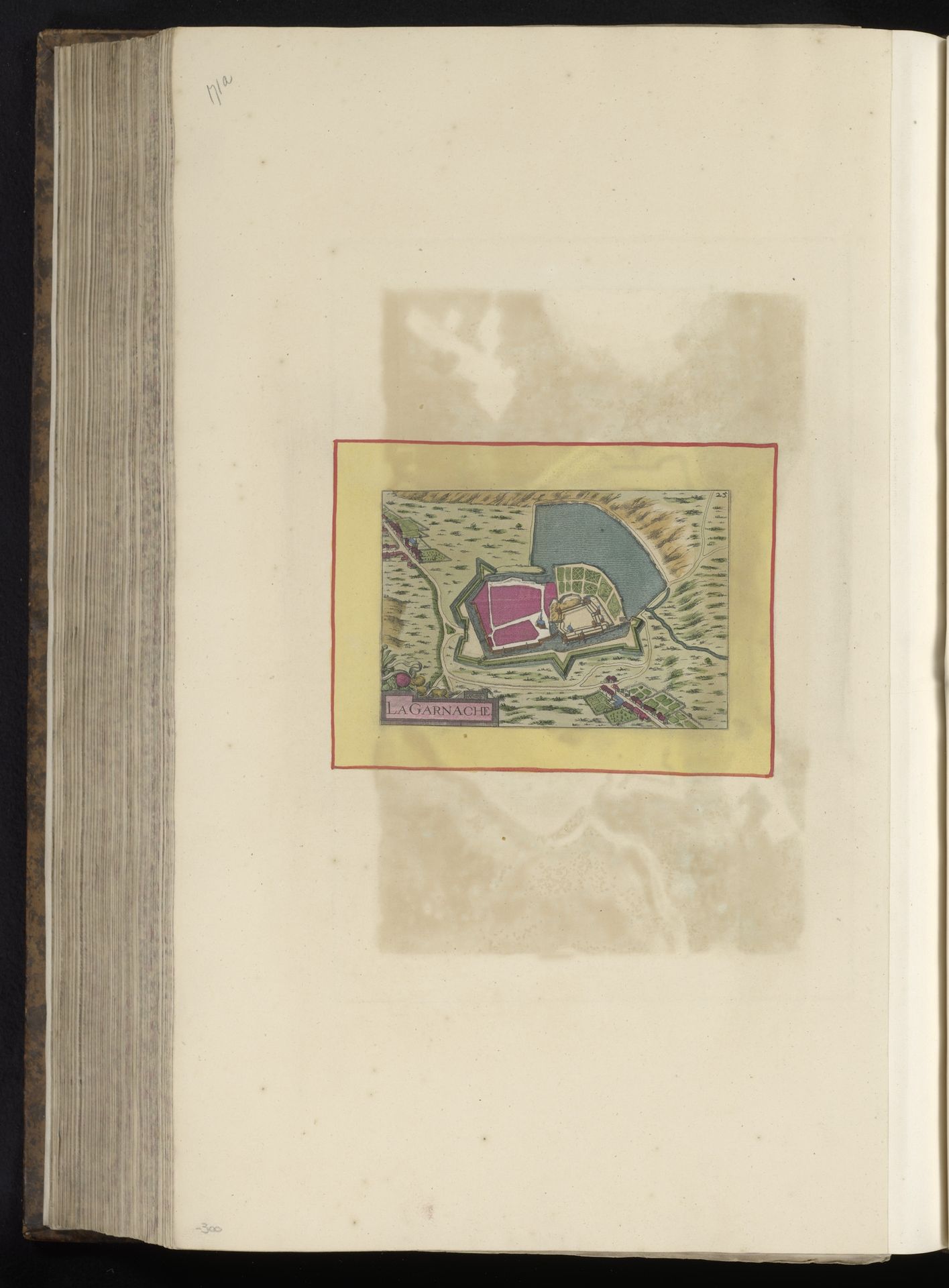
This is an undated, anonymous rendering of the ‘Plattegrond van La Garnache’, which is Dutch for ‘Floor plan of La Garnache’. Cartography, like portraiture, is a selective art form. It not only shows us the lay of the land but also implies ownership, control, and power. What does it mean to map a place? How does this seemingly neutral representation impact our understanding of the land, its resources, and its inhabitants? Here, the town's layout, with its defensive walls and structured organization, reflects a society built on hierarchy and control. These maps also functioned as tools of governance and war, enabling strategic planning, military campaigns, and territorial disputes. It brings to mind questions of whose perspectives are prioritized and whose are marginalized in the creation of this geographical record. Let yourself consider the stories that remain untold within these lines and colors, the voices and histories that lie beneath the surface of what's represented.