drawing, print, paper, ink, engraving
#
drawing
#
baroque
# print
#
perspective
#
paper
#
ink
#
geometric
#
cityscape
#
engraving
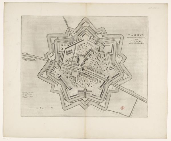
Dimensions: height 418 mm, width 522 mm
Copyright: Rijks Museum: Open Domain
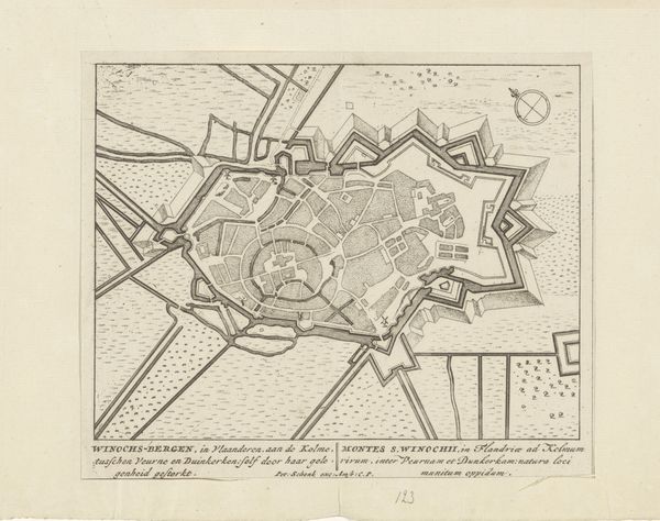
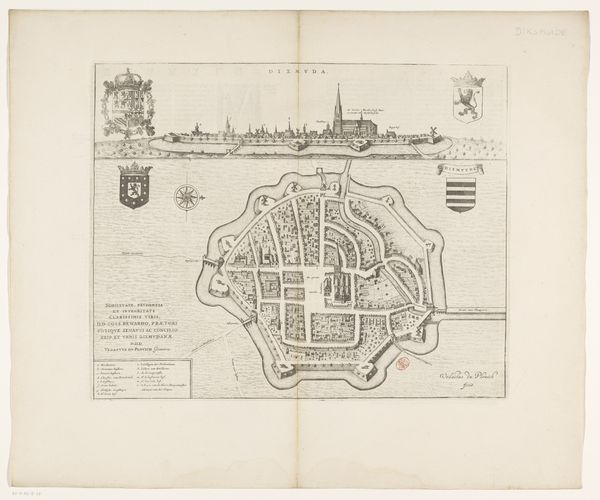
This is an anonymous, undated map of Damme. It is an intriguing artifact that offers insights into the history and culture of urban planning and warfare. Maps like these were essential tools for military strategy, projecting power and control over territory. But they also reflected a certain worldview. This map, with its precise lines and geometric shapes, suggests a desire to impose order and rationality on the landscape. The star-shaped design, with its fortifications, speaks to a time of conflict and territorial disputes. At the same time, it’s important to consider who was included and excluded from these representations. What about the experiences of ordinary people who lived within these walls? How did gender, race, and class shape their relationship to the city and its defenses? This map invites us to contemplate the complex interplay between power, identity, and space, reminding us that even seemingly objective representations can be imbued with social and political meaning.
Comments
No comments
Be the first to comment and join the conversation on the ultimate creative platform.
More like this