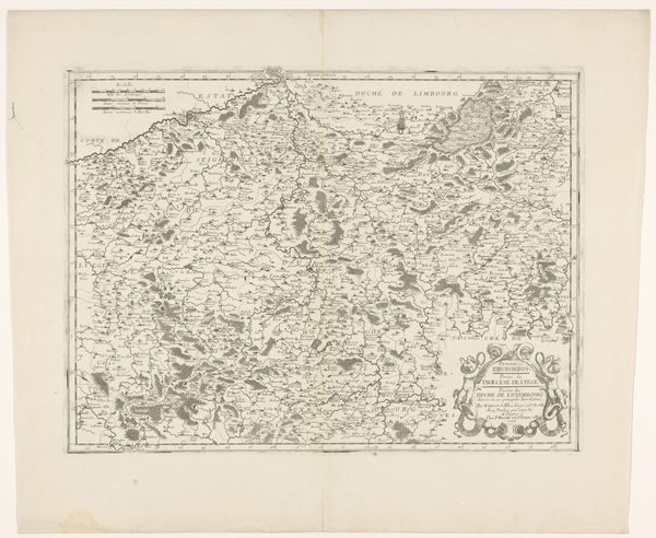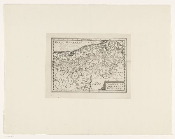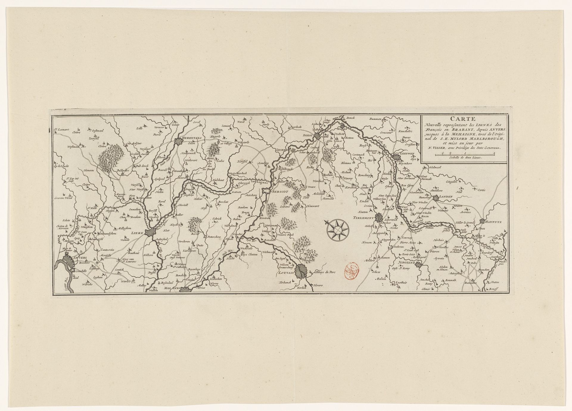
1705 - 1720
Kaart van de Franse linies in Brabant, ca. 1705
Anonymous
@anonymousLocation
RijksmuseumListen to curator's interpretation
Curatorial notes
Curator: This anonymous engraving, "Kaart van de Franse linies in Brabant," created around 1705-1720, offers us a detailed glimpse into military strategy and territorial claims of the period. It's currently part of the Rijksmuseum collection. Editor: Immediately, the sheer detail of the rendering strikes me. Each tiny mark feels significant, as though holding vital strategic meaning. There’s something both imposing and secretive about maps; like keys to hidden power. Curator: Indeed, this map wasn't just about geography; it was a tool of power. Created during a time of frequent conflicts in the region, likely the War of the Spanish Succession, it delineates the French lines of defense in Brabant. Knowing where troops were placed and supplies staged were deciding advantages, especially to potential invaders. Its value resides in reflecting historical contexts. Editor: Absolutely. Consider how frequently maps use iconic imagery. Take for example, the prominent wind rose anchoring the center; for centuries this has meant more than simply identifying direction, it projects an aspiration for exploration, and of dominating seas and lands. Or consider those little trees dotting the landscape; even they speak to a deep rooted sense of place, ownership, of potential resources for military efforts. Curator: Precisely. The very act of mapping implies a desire for control, for imposing order on the land, and on those who inhabit it. Such prints would not only have served military and administrative functions but also helped shape a public perception of territories being fought over, fostering a sense of national identity through geographic representation. Editor: The stark black and white of the engraving contributes to this feeling too; an almost clinical way of observing land as assets, devoid of life and emotion. Yet, within the conventions, there's this quiet tension; knowing the violence linked with charting territories makes something unsettling come through in those thin black lines. Curator: A good point. In essence, maps like these, even with their detailed accuracy, presented a carefully constructed reality, serving strategic purposes for those in power, which we still view today through our modern context. Editor: This deep dive into a map has made me reconsider seemingly neutral illustrations as carriers of immense political intent and cultural weight. Thank you for guiding me! Curator: A pleasure! It is in exploring these intertwined threads of visual imagery and cultural impact that we learn something truly profound from these images.