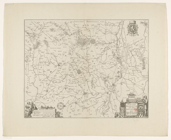
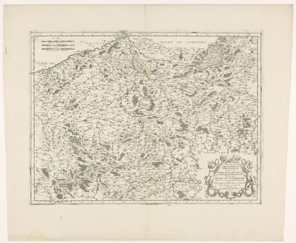
Kaart van het kwartier van Antwerpen, onderdeel van het hertogdom Brabant 1642 - 1672
0:00
0:00
print, etching, engraving
# print
#
etching
#
landscape
#
etching
#
engraving
Dimensions: height 419 mm, width 522 mm
Copyright: Rijks Museum: Open Domain
This is an anonymous map of the quarter of Antwerp, part of the duchy of Brabant, made using engraving. The intricate network of lines immediately draws our eye into a complex visual field. It evokes a sense of being meticulously planned with a rich density of visual information. The map's structure, with its detailed rendering of geographical elements and heraldic symbols, operates as a visual language. The lines delineating territories function as signs, each encoding political and social meanings about land ownership. The engraver uses a semiotic approach to construct a world where power and geography are intertwined and encoded in lines and symbols. Note how the map challenges fixed notions of space. It reflects an early modern desire to classify, organize, and understand the world through cartographic representation. Consider how this historical artifact makes us reflect on how we continue to use visual systems to shape our understanding of place and power.
Comments
No comments
Be the first to comment and join the conversation on the ultimate creative platform.
More like this