drawing, print
#
drawing
#
page thumbnail
# print
#
landscape planning
#
architectural plan
#
layout plan
#
traditional layout
#
spread layout sheet
#
geometric
#
newspaper layout
#
spread layout
#
architectural section drawing
#
architectural drawing
#
cityscape
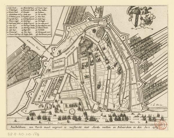
Dimensions: height 370 mm, width 432 mm
Copyright: Rijks Museum: Open Domain
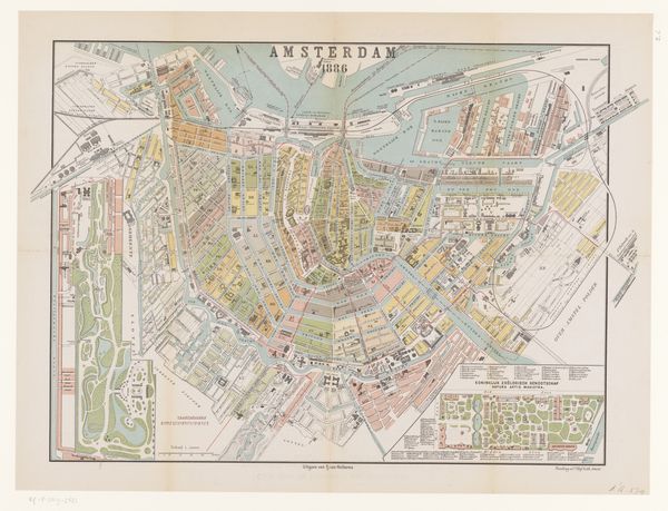
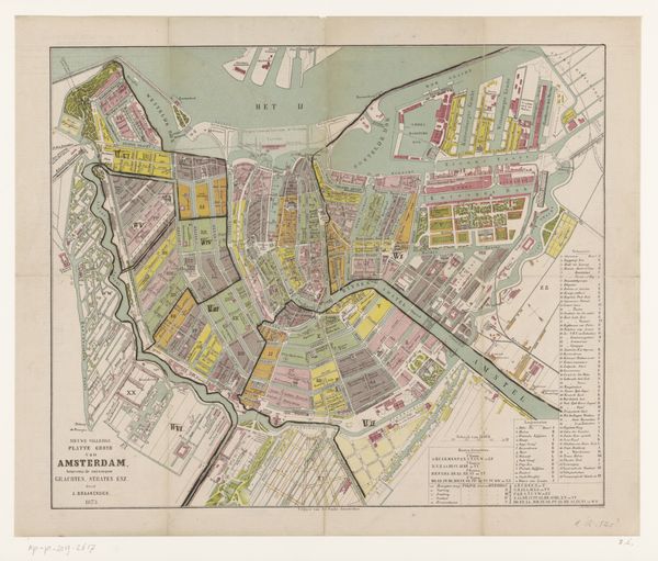
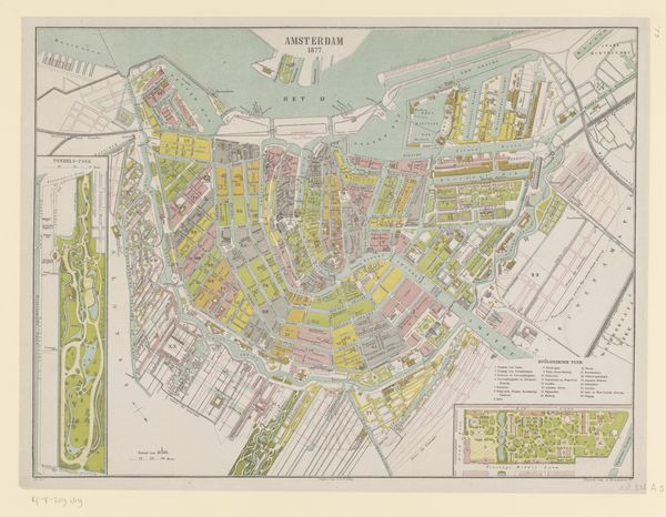
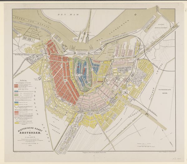
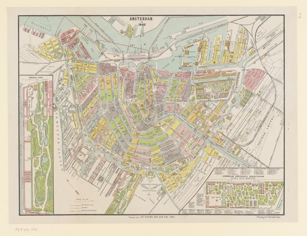
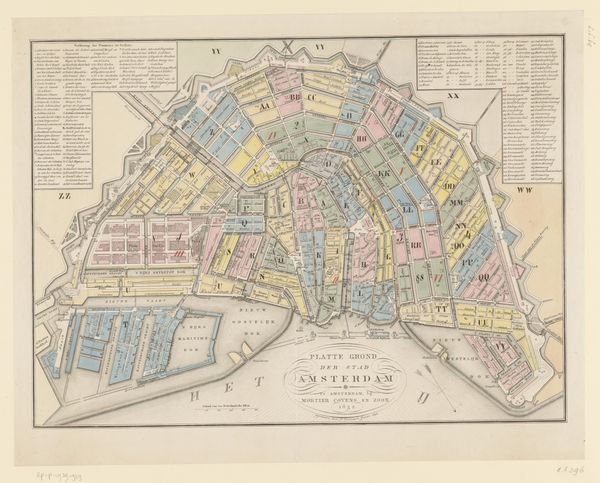
Curator: Today, we are looking at a "Plattegrond van Amsterdam," or a plan of Amsterdam, from 1872 by Albertus Braakensiek. Editor: At first glance, it’s an oddly soothing explosion of color and intricate lines, like looking into a complex clock mechanism, but it’s also quite serene with the blues, yellows, and greens. It really draws you in. Curator: Indeed. The map offers a fascinating window into the spatial and social organization of the city at that time. Amsterdam’s urban development has always been intensely linked to its cultural identity, and that shows in pieces like this. The use of the waterways is incredibly prominent. Editor: Precisely. Those waterways become arteries and, reading this now, it’s tempting to overlay contemporary perspectives on urban planning, questions around accessibility, even equity in resource allocation in different city quadrants reflected by differences in color. Did those disparities map onto something we recognize in identity politics now, I wonder. Curator: What’s so significant about the canals is their function not just as transport routes, but how they determined land use, influenced trade, and subsequently impacted the city's demographics and social strata. Amsterdam’s wealthy merchants, of course, would have shaped so much of this reality. We might interpret color blocks and the buildings as visual reminders of such structures, even biases. Editor: And you’re right. If we can step back to really see this less as simply geography and more a visual embodiment of power structures… That act of representing it, fixing the layout in this printed form, must itself be understood as a profoundly political gesture, creating an approved version of what should endure. Curator: Exactly! It solidifies a certain view of the city that would influence not only policy but public perception. Think about how it would inform everything from land speculation to narratives of progress and identity. Editor: Thank you. Looking closely allows us to challenge what that layout privileges or obscures, prompting important discussions about history, memory, and, perhaps, planning for a more just future. Curator: It's artworks like this which push us to question our surroundings, the values they embody, and how cities continue to be shaped by similar forces today.
Comments
No comments
Be the first to comment and join the conversation on the ultimate creative platform.
More like this