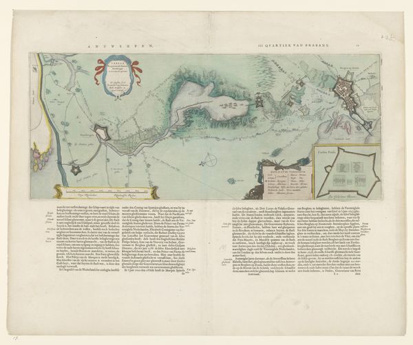
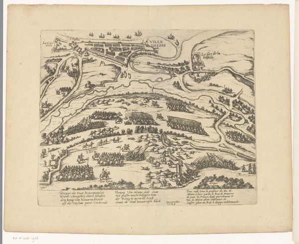
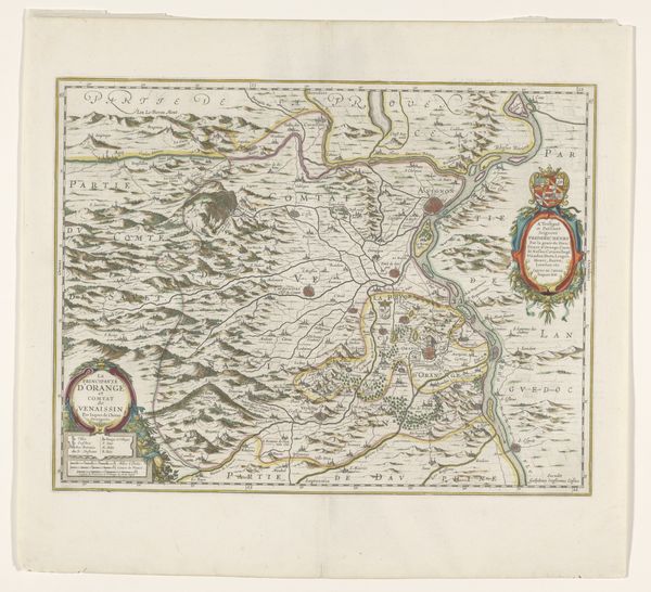
Kaart van de baai van Toulon met een plattegrond van Toulon, tijdens het beleg van 1707 1707 - 1732
0:00
0:00
drawing, print, etching, watercolor
#
drawing
#
baroque
# print
#
etching
#
landscape
#
watercolor
#
geometric
#
line
#
cityscape
#
history-painting
Dimensions: height 390 mm, width 494 mm
Copyright: Rijks Museum: Open Domain
This is an anonymous map of the bay of Toulon, created during the siege of 1707. It is a detailed record of a specific time and place, yet it speaks to larger themes of conflict, power, and identity. Maps like this were not just about geography; they were instruments of power. The act of mapping was an assertion of control, defining territories and solidifying claims. Who gets to draw the lines? Who is included, and who is left out? These are fundamentally political questions. Consider, too, how the experience of siege—the feeling of being surrounded, cut off, under threat—shapes identity. War, even seen from above, evokes the emotional dimensions of historical events. Maps can be beautiful, but they also remind us of human struggles, territorial disputes, and the human cost of conflict. They are traces, in cartographic form, of very real and very difficult histories.
Comments
No comments
Be the first to comment and join the conversation on the ultimate creative platform.
More like this