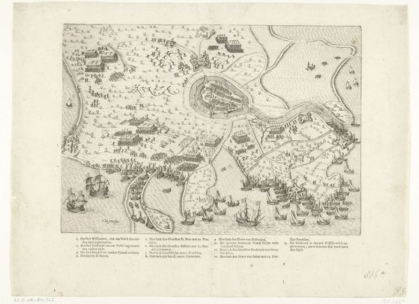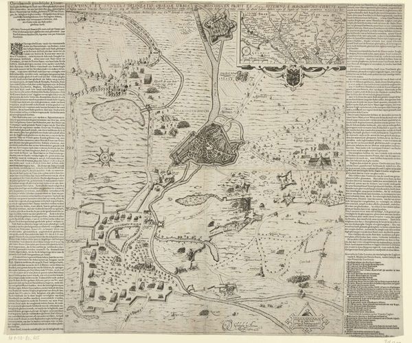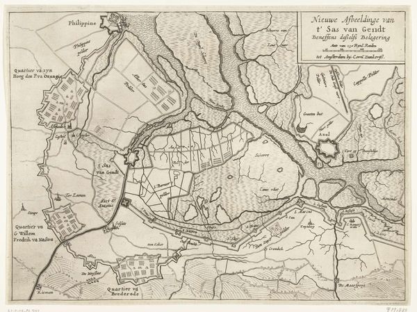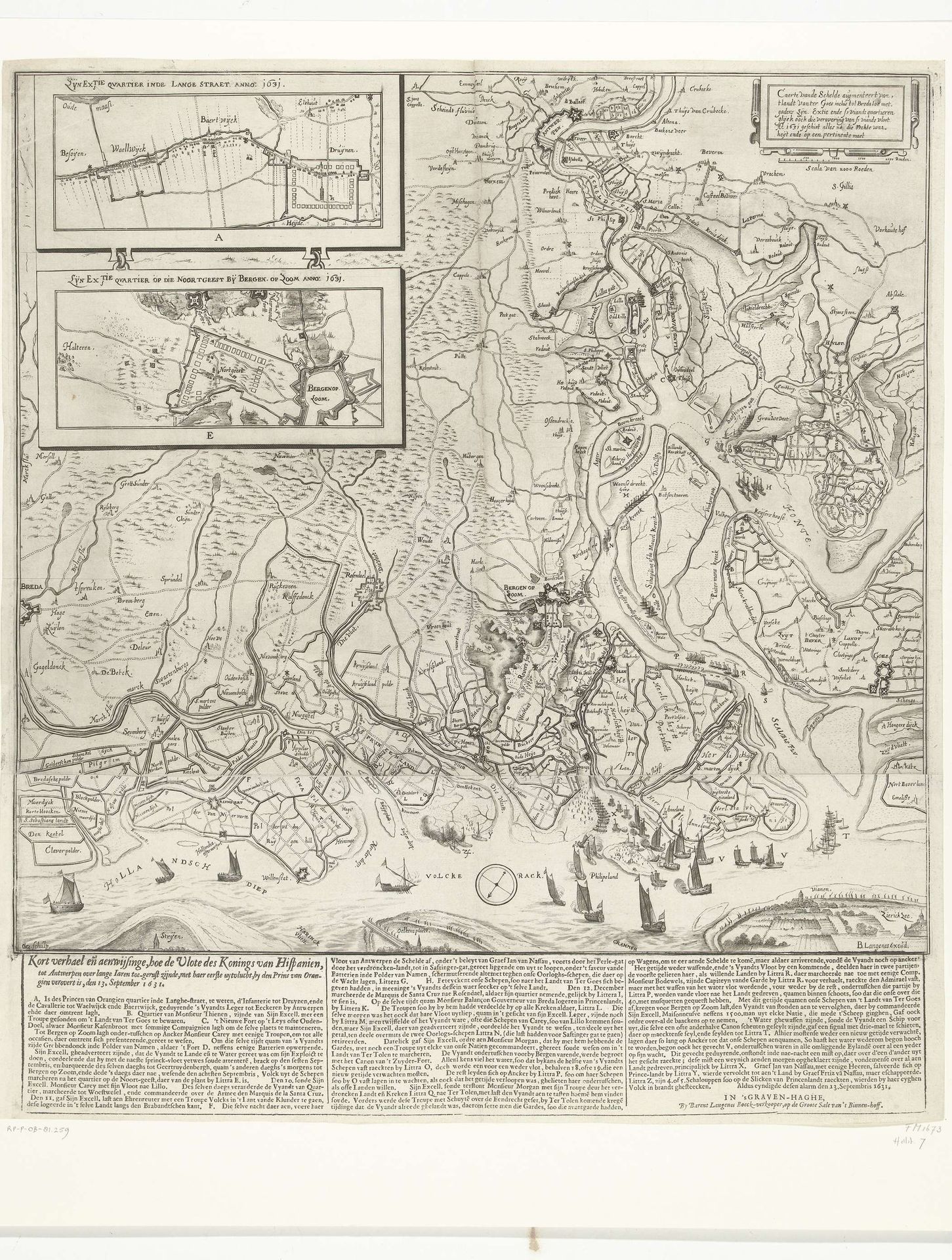
1631
Overwinning op het Slaak, 1631
Crispijn van den Queborn
1595 - 1652Location
RijksmuseumListen to curator's interpretation
Curatorial notes
Crispijn van den Queborn’s engraving of the ‘Overwinning op het Slaak’ was produced in 1631. This detailed print depicts the strategic victory over the Slaak during the Dutch Revolt, a key moment in the Netherlands' struggle for independence from Spain. Maps like these weren’t just about geography; they were powerful tools of statecraft. The Dutch Republic, a rising commercial power, used cartography to assert control over its territory and project its influence abroad. Note how the precise rendering of fortifications and waterways serves to celebrate Dutch military prowess and technological innovation. Consider the cultural context: the Revolt was fueled by religious and economic grievances against Spanish rule. Prints like this helped to solidify national identity and promote the legitimacy of the Dutch Republic. Today, historians use such images alongside archival sources to understand the complex interplay of politics, society, and culture in the making of a nation.