graphic-art, print, etching
#
graphic-art
#
dutch-golden-age
# print
#
etching
#
etching
#
cityscape
Dimensions: height 473 mm, width 542 mm
Copyright: Rijks Museum: Open Domain
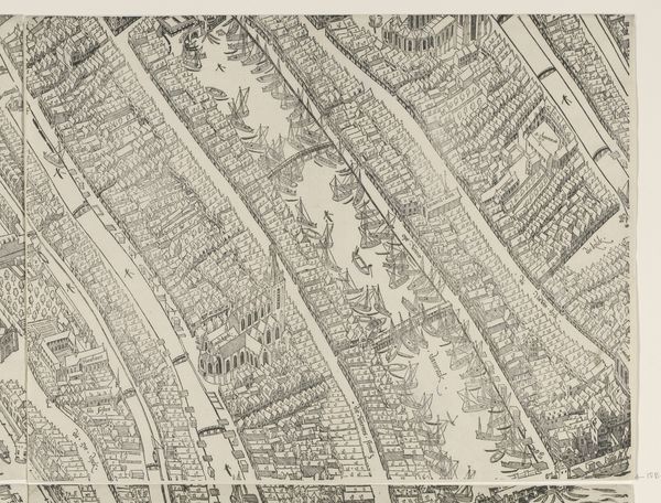
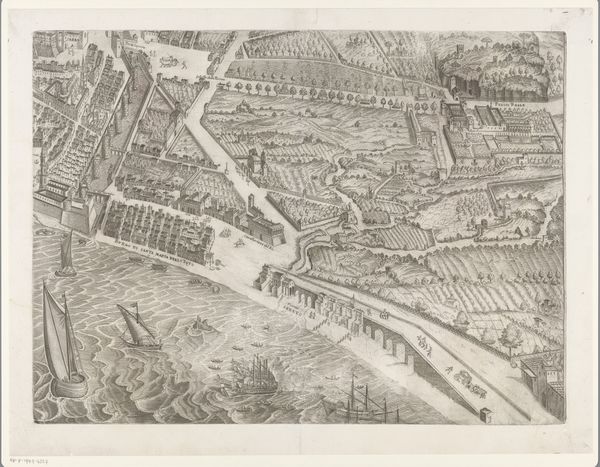
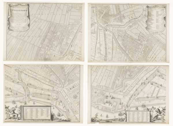
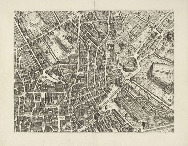
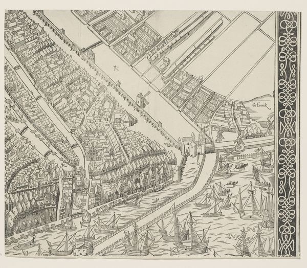
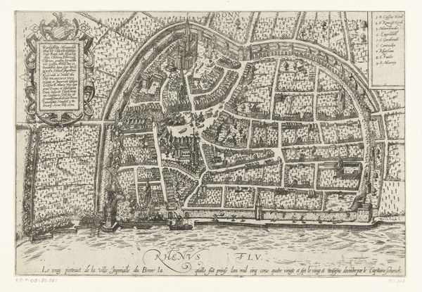
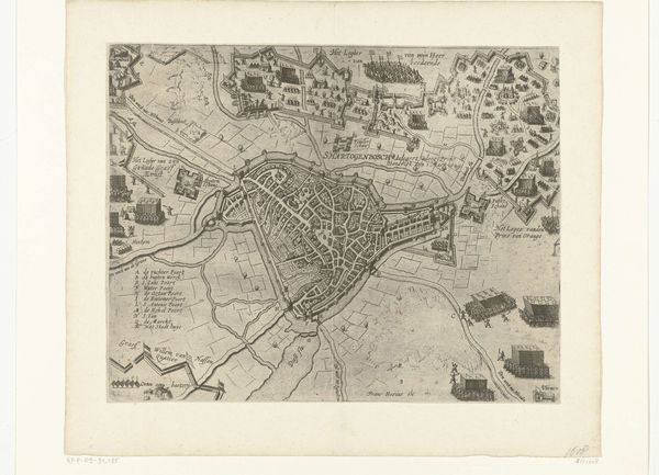
In 1625, Balthasar Florisz. van Berckenrode created this detailed map of Amsterdam. As the Dutch Republic experienced its Golden Age, Amsterdam emerged as a global hub for trade, culture, and intellectual exchange. But this map isn't just a neutral depiction of urban space; it's a window into the social hierarchies of the time. The wealthy merchant houses lining the canals contrast sharply with the crowded, less regulated areas where laborers and immigrants resided. What stories do these streets hold? Who had the privilege to navigate them freely, and who faced restrictions based on their gender, class, or origin? This map embodies the spatial dimensions of power, reflecting who was included and who was excluded from the promise of prosperity in this burgeoning metropolis. It makes me wonder, who is not seen here?
Comments
No comments
Be the first to comment and join the conversation on the ultimate creative platform.
More like this