print, engraving
# print
#
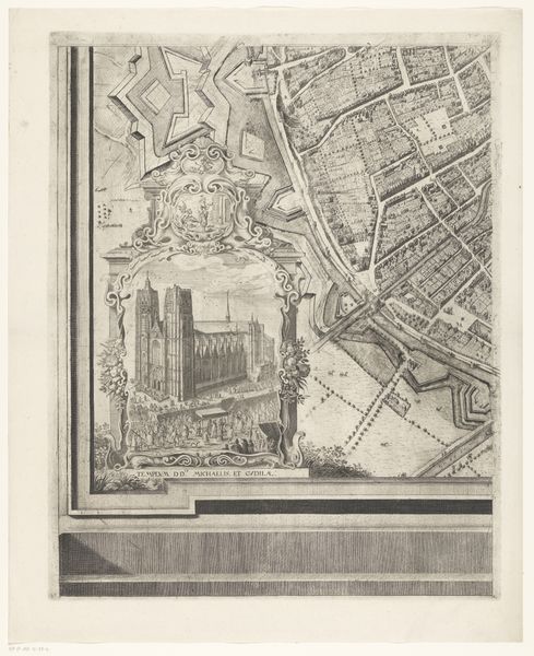
cityscape
#
engraving
Dimensions: height 524 mm, width 422 mm
Copyright: Rijks Museum: Open Domain
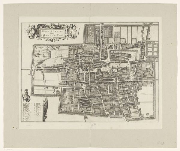
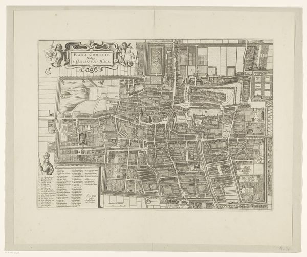
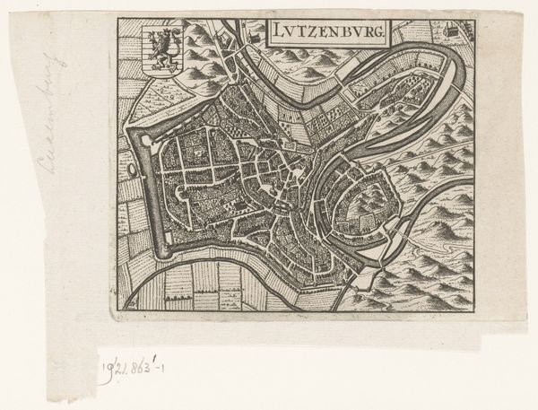
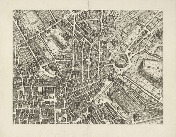
Curator: Looking at this cityscape, what first springs to mind? It's titled 'Plattegrond van Brussel (deel midden onder)', essentially a map of Brussels, made sometime between 1640 and 1748. Editor: A labyrinth! I feel instantly transported to a miniature world. All those tiny lines and shapes – a delicate, almost obsessive rendering of urban space. The defensive walls really stand out; they have such sharp geometry compared to the organic sprawl within the city. Curator: It is an engraving, meticulously crafted to convey not only geographical accuracy but also a sense of the city's fortifications. Cityscapes such as this one fulfilled both practical and symbolic purposes. Maps weren't just about getting from point A to point B. They projected power. Editor: Power, definitely. You can feel the weight of military strategy etched into the image, those imposing angular fortresses designed to protect. And the strange sense of control from above - a very particular view, literally overlooking human existence within. Does the lack of human figure enhance this distant perspective? Curator: Precisely! These city maps, quite popular from the 16th through the 18th centuries, served as propaganda showcasing a city's strength and order. Imagine being a ruler, gazing at this; you would be seeing a controlled, defined territory. Editor: It does invite this somewhat chilling, all-seeing perspective. Almost godlike. Although, you can't deny the detail – look at those meticulously drawn houses and gardens within the walls. Did the artist go and visit all the buildings in person? It looks a crazy amount of work to me! Curator: Highly unlikely! They would have relied on surveyors, but that doesn’t take away from the sheer artistic dedication required to transfer that information into such an intricate engraving. Editor: This piece captures a precise point in time but does so with tremendous character. I wander if our modern maps, with all their satellite accuracy, can express this same level of personality. Curator: Technology has offered us immense possibilities, no doubt, but what may be lost in sheer accuracy may be gained through individual artistry such as what is shown in this engraving.
Comments
No comments
Be the first to comment and join the conversation on the ultimate creative platform.
More like this