drawing, print, ink, engraving
#
pen and ink
#
architectural sketch
#
drawing
#
baroque
#
dutch-golden-age
# print
#
pen sketch
#
etching
#
ink
#
geometric
#
cityscape
#
engraving
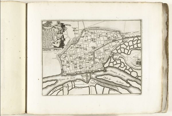
Dimensions: height 224 mm, width 367 mm
Copyright: Rijks Museum: Open Domain
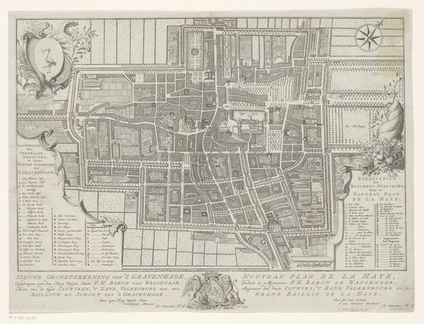
Pieter van Call created this detailed map of The Hague in 1570 using engraving techniques. The artwork presents a bird's-eye view, meticulously mapping out the city's layout and evoking a sense of order and precision. The dominant use of linear strokes to define the architectural and geographical elements gives the map its structure. This map is more than just a topographical record. It's a carefully constructed representation of space and power, reflecting the period's evolving understanding of urban planning and spatial organization. Call employs a semiotic system where each line and shape serves as a sign, contributing to a broader narrative about the city's identity and its place within the wider Dutch landscape. The map not only captures the physical layout but also engages with contemporary ideas about urban space and its representation. Note how the artist meticulously balances detail with overall legibility. This attention to form turns a functional document into a work that invites contemplation, illustrating how art and cartography intersect to shape our perception of space and place.
Comments
No comments
Be the first to comment and join the conversation on the ultimate creative platform.
More like this