About this artwork
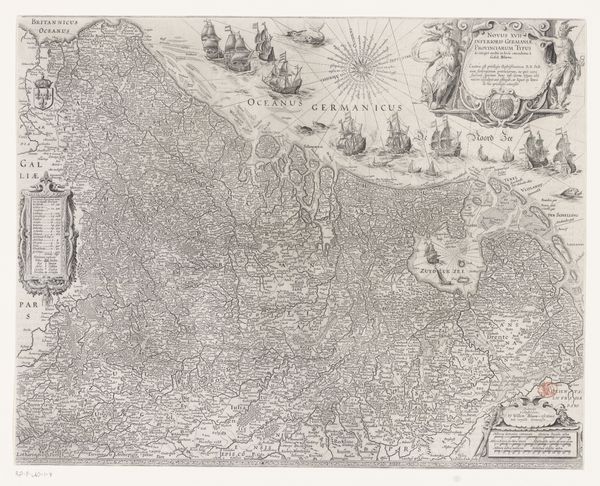
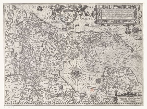
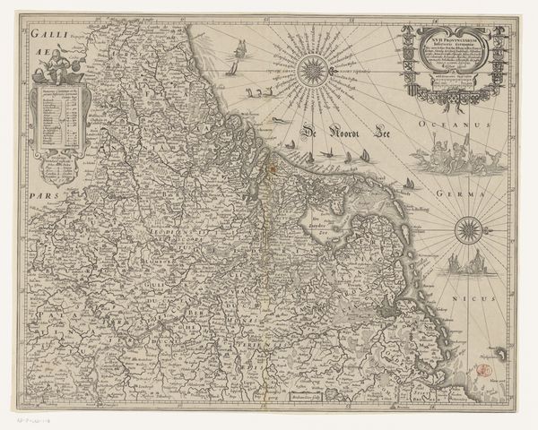
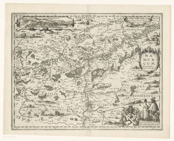
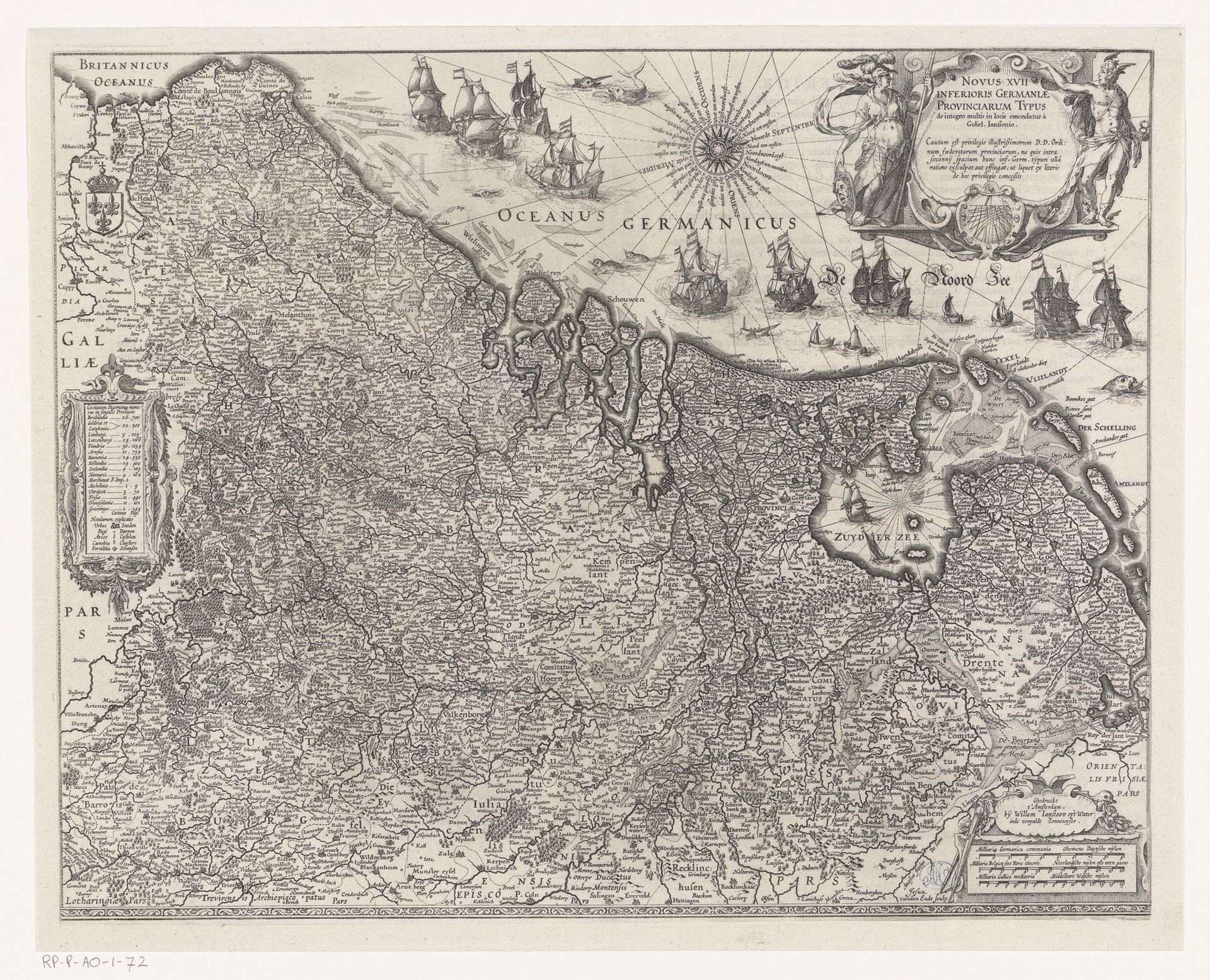
Josua van den Enden created this map of the Seventeen Provinces in the early 17th century. At the time, the Netherlands was in the midst of the Eighty Years’ War, a struggle for independence from Spanish rule, so maps like these were powerful tools for defining territory and national identity. The map does more than display geographical accuracy; it's a statement of political and cultural identity. Each province, meticulously detailed, asserts its place within the larger Dutch project. Note the ships dominating the seas; these served as a symbol of Dutch maritime power and trade ambitions during the Golden Age, a time when the Dutch were expanding their influence across the globe. The map’s detailed rendering of the land visually stakes a claim, while the sea-bound vessels point to the future. Consider how van den Enden uses the map not just to chart space, but to chart a course for a nation in the making.
Artwork details
- Medium
- print, engraving
- Dimensions
- height 401 mm, width 502 mm
- Copyright
- Rijks Museum: Open Domain
Tags
dutch-golden-age
old engraving style
geometric
line
history-painting
engraving
Comments
Be the first to share your thoughts about this work.
About this artwork
Josua van den Enden created this map of the Seventeen Provinces in the early 17th century. At the time, the Netherlands was in the midst of the Eighty Years’ War, a struggle for independence from Spanish rule, so maps like these were powerful tools for defining territory and national identity. The map does more than display geographical accuracy; it's a statement of political and cultural identity. Each province, meticulously detailed, asserts its place within the larger Dutch project. Note the ships dominating the seas; these served as a symbol of Dutch maritime power and trade ambitions during the Golden Age, a time when the Dutch were expanding their influence across the globe. The map’s detailed rendering of the land visually stakes a claim, while the sea-bound vessels point to the future. Consider how van den Enden uses the map not just to chart space, but to chart a course for a nation in the making.
Comments
Be the first to share your thoughts about this work.