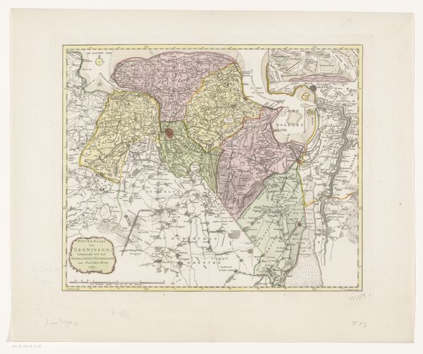
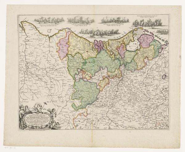
print, etching
#
dutch-golden-age
# print
#
etching
#
old engraving style
#
landscape
#
etching
Dimensions: height 357 mm, width 408 mm
Copyright: Rijks Museum: Open Domain
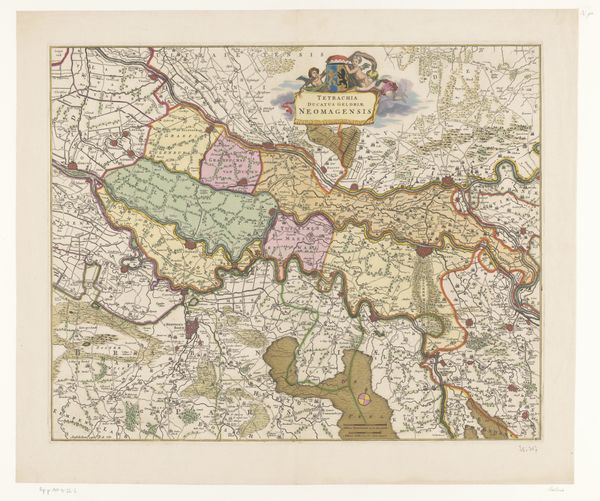
Abraham van Krevelt created this map of Gelderland in 1784, engraving the land that belongs to the Netherlands. Looking at this map, we can see how cartography was more than just geographical record-keeping. In the 18th century, maps were powerful tools for visualizing and solidifying territorial claims, reflecting the political landscape of the Dutch Republic. The detailed rendering of Gelderland’s towns and borders speaks to the rising importance of centralized administration and control over land resources. But what about the communities that lived on and traversed this land? Whose interests were served by creating such a clearly defined sense of territory? To answer these questions, we can delve into archives and libraries, examining period documents to better understand the complex social conditions that shaped both the production and reception of this seemingly straightforward map.
Comments
No comments
Be the first to comment and join the conversation on the ultimate creative platform.
More like this