drawing, ink, engraving
#
drawing
#
baroque
#
old engraving style
#
ink
#
geometric
#
cityscape
#
history-painting
#
engraving
Dimensions: height 414 mm, width 316 mm
Copyright: Rijks Museum: Open Domain
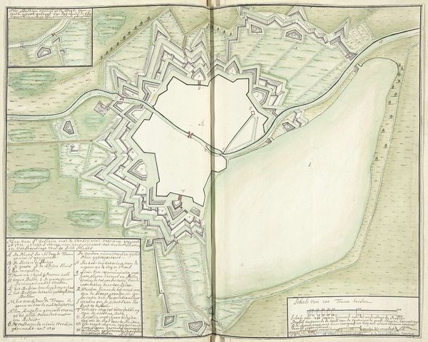
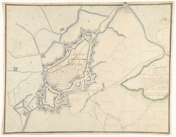
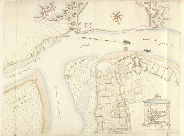
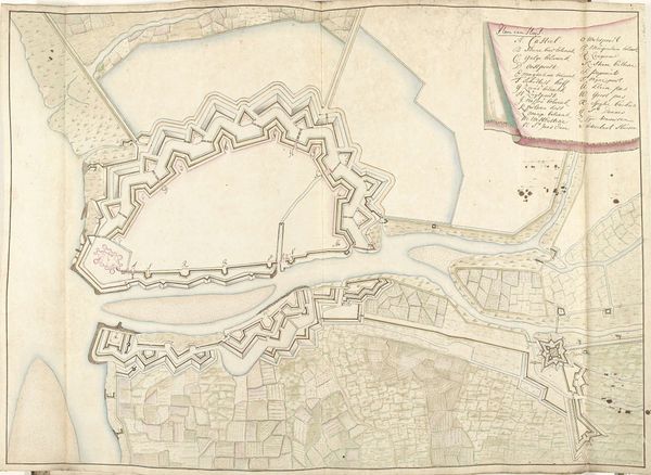
This is a plan of the siege of Ostend, created in 1706 by Samuel Du Ry de Champdoré. The drawing is defined by its linearity, with fine lines delineating fortifications, waterways, and urban structures. The composition is divided into distinct zones, each rendered with precision. Note how the geometric forms of the fortified city contrast with the organic sprawl of the surrounding landscape, creating a visual tension between order and nature. This tension highlights the imposition of human will and engineering upon the environment. The map functions as a semiotic system. Each line, shape, and annotation serves as a signifier, encoding information about military strategy, spatial relationships, and political power. The detailed rendering of fortifications and siege lines underscores the strategic importance of the city and the meticulous planning involved in its capture. The map challenges fixed meanings of space, revealing it instead as a dynamic and contested territory shaped by human actions and strategic imperatives.
Comments
No comments
Be the first to comment and join the conversation on the ultimate creative platform.
More like this