1712 - 1735
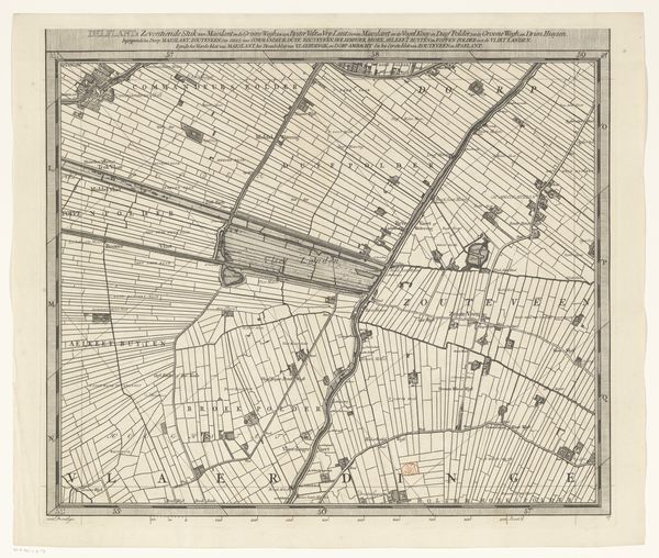
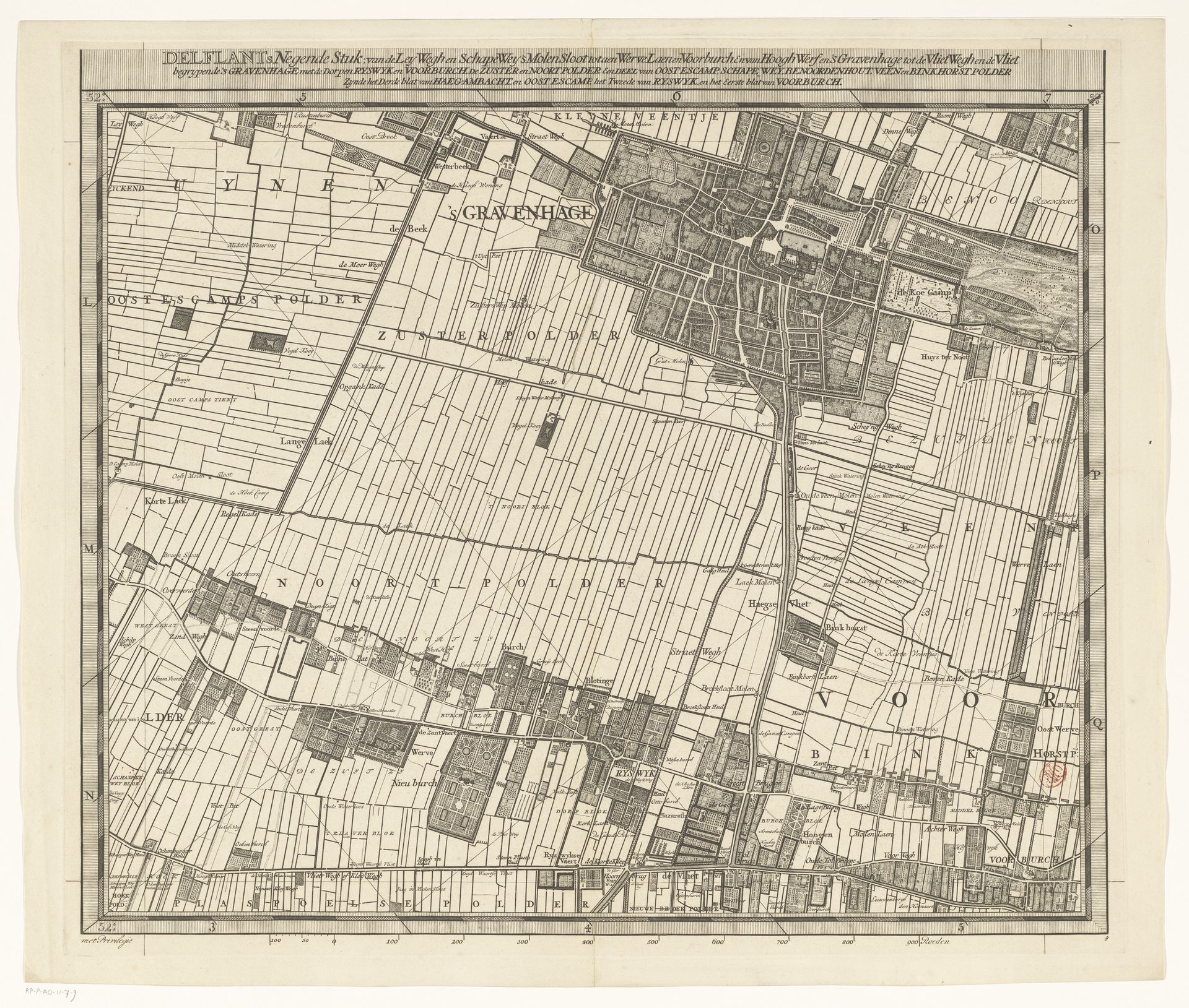
Kaart van het Hoogheemraadschap van Delfland (negende deel)
Listen to curator's interpretation
Curatorial notes
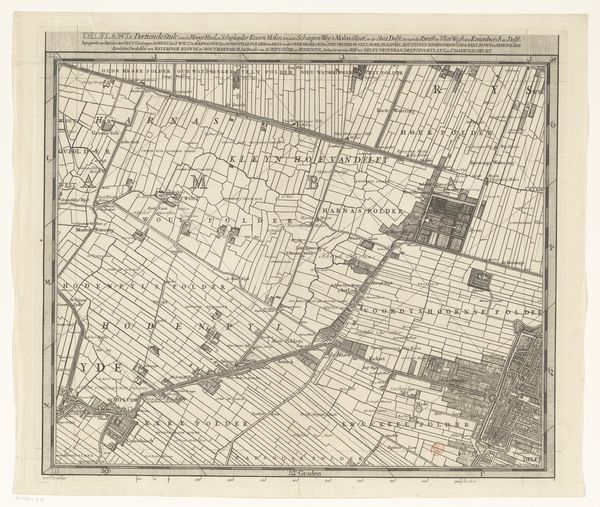
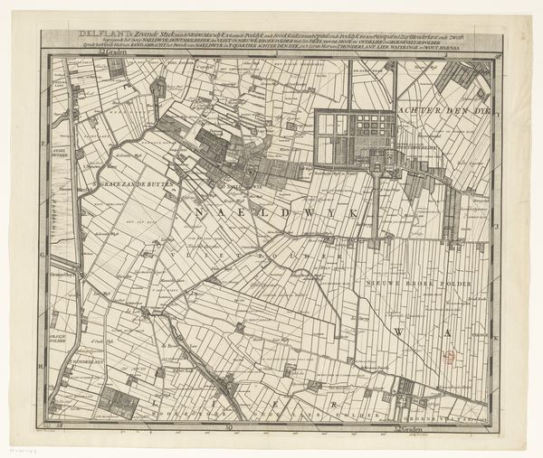
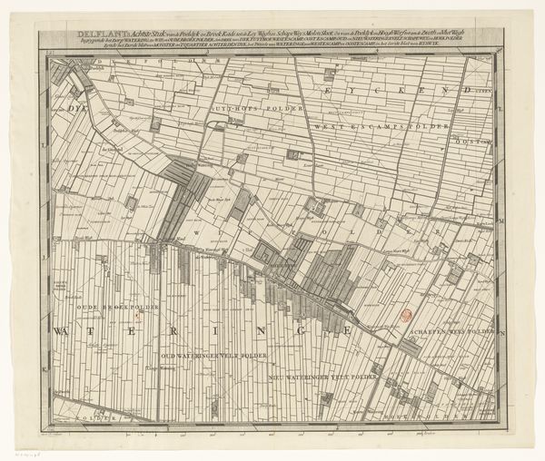
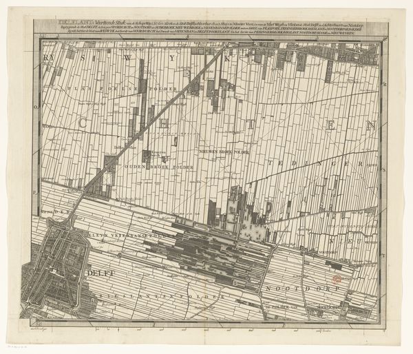
This is a section of a map of the Delfland region, created by Luggert van Anse. What immediately strikes one is the intricate, almost obsessive detail rendered through delicate lines. The visual field is dominated by a network of precise geometric shapes, forming a landscape articulated by fields and waterways. The composition reflects the structural organization and perhaps even the human imposition on the land. In considering this map, one may turn to Michel Foucault’s ideas about power and spatial organization. The grid-like structure suggests control and surveillance, reflecting how power is exerted through spatial ordering. Semiotically, each line and shape functions as a sign, encoding information not just about physical geography but about the socio-political landscape. The map challenges the idea of a neutral representation; it presents a world shaped by human intention and governance. The very act of mapping isn't simply a depiction but an interpretation, highlighting the interplay between form and power. The map invites us to see beyond its aesthetic qualities and consider its role in shaping perceptions and exerting control.