Curatorial notes
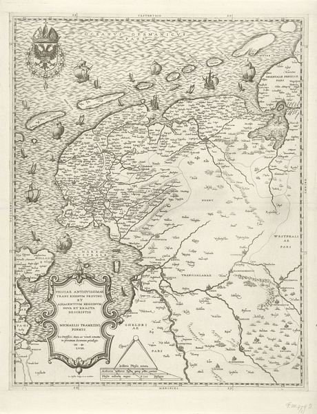
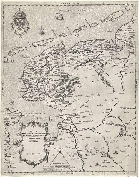
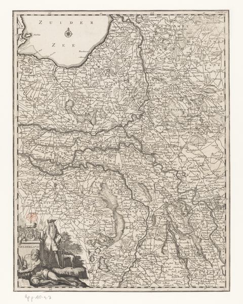
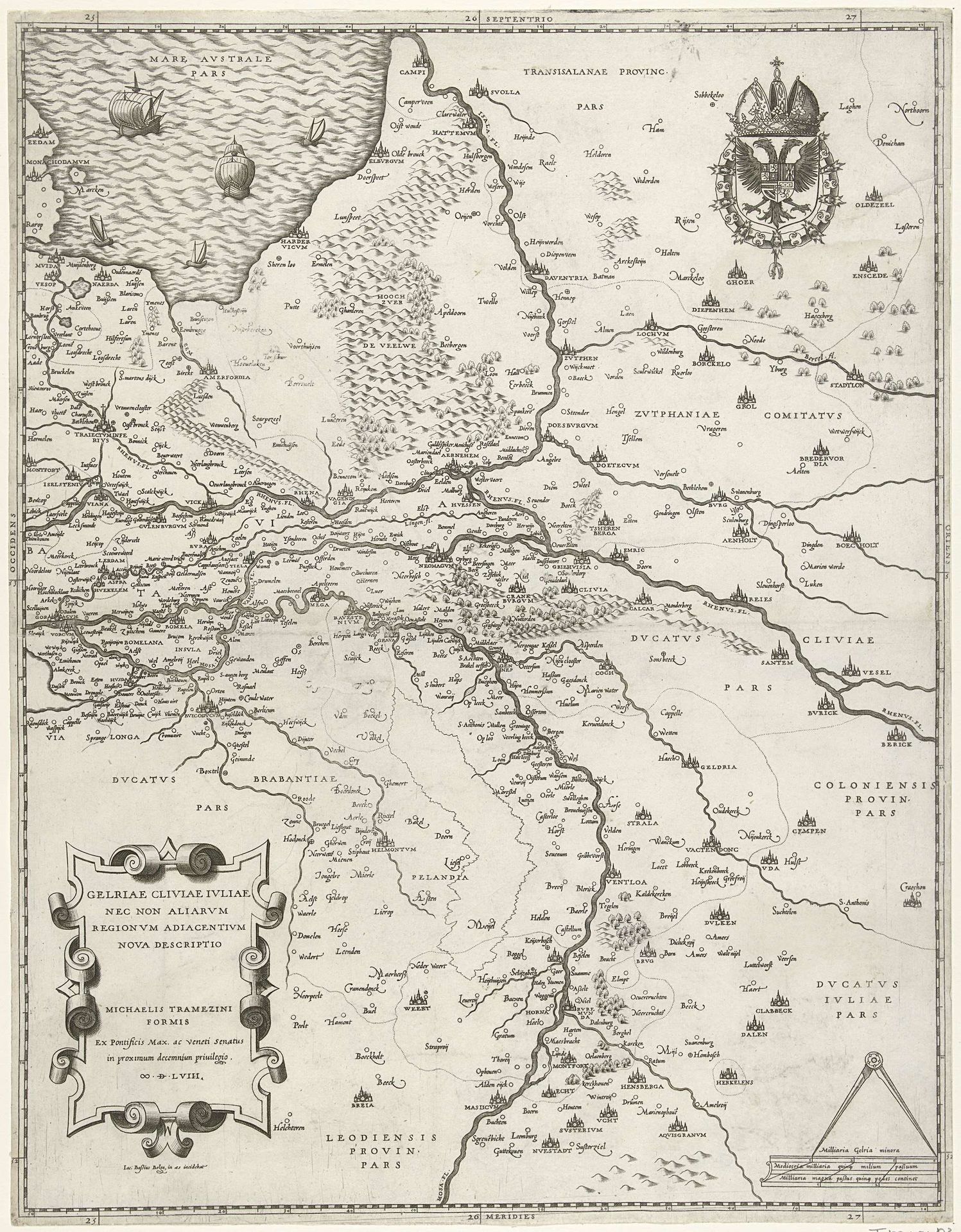
Curator: What a meticulously detailed map. This is Jacob Bos's "Kaart van Gelderland," an engraving dating back to 1568. It's a fascinating representation of the region, offering insight into the Northern Renaissance perception of geography and territory. Editor: My first impression? It's intensely controlled, almost claustrophobic. Every inch seems occupied—a real visual manifestation of claimed space. The texture is so fine, so consistent. Does that reflect something about the political landscape at the time? Curator: Absolutely, I think so. The creation and dissemination of such maps served clear socio-political functions. Cartography in this period was not just about accurately charting geographical features. Maps visually asserted sovereignty, defining territories, and legitimizing claims of power. Think about the detailed depiction of settlements, borders… Editor: And the prominent coat of arms. It speaks volumes about dominance and hierarchy, doesn't it? Beyond the politics, I'm curious about who was able to access a piece like this back then. Was it designed for the ruling class or merchants or some other public group? Was there any potential that citizens would see it and understand the social space they occupied? Curator: Excellent question. While produced during a time of emerging print culture, accessibility was limited. High-ranking nobles, wealthy merchants, and certainly learned scholars within elite institutions would have constituted its primary audience. The act of viewing it alone solidified social standing; ownership further augmented existing symbolic and concrete capitals. How does its visual language work with its function as a statement of dominance, can this language offer a unique and distinct regionalist character or form? Editor: I suppose that if we want to use maps, and their artistic depiction, we cannot simply view this map as art with solely political intent, as that negates regionalist culture. To not fully understand a specific cultural space with solely imperial means would likely not prove successful over time. Curator: A powerful observation! Indeed, situating "Kaart van Gelderland" in an intersectional narrative helps us see past dominant narratives. It reminds us that regional identity, claims of sovereignty, and the evolving representation of people are inextricably interwoven. Editor: Ultimately, it underscores the vital need to investigate power dynamics to understand historical context better. In a space like Gelderland that seems far from any global power systems, the act of even participating within maps and asserting dominance seems rebellious to outside power structures. It is the definition of finding ways to build strength despite constraints.