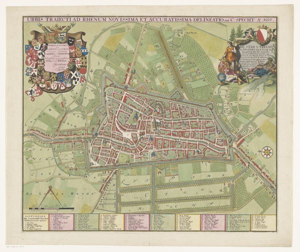
About this artwork
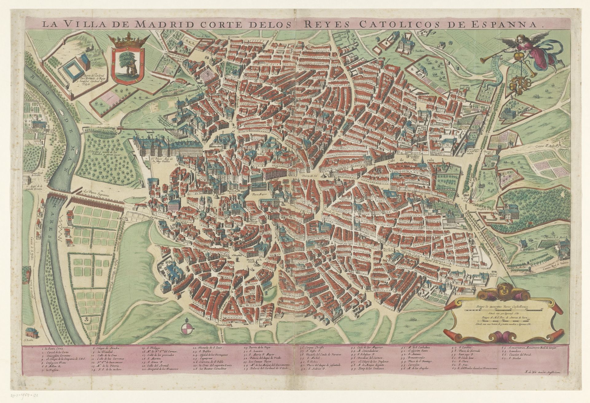
This is an uncredited map of Madrid, made in an unknown year using printing and engraving. Looking at this map, what can we tell about the status of the city, its institutions, and the social relations of its inhabitants? The title "Villa de Madrid, Corte delos Reyes Catolicos de Espanna" tells us that this is Madrid, a royal city in the Spanish Empire. The map depicts the city as a place of order and stability. The Catholic Monarchs had established a clear social hierarchy and religious authority. However, a map like this wasn't just a neutral record. It was a carefully constructed image that served specific interests. It was likely commissioned by the monarchy or city officials to project power, promote commerce, and perhaps even to encourage investment in the city. By studying historical maps like this in combination with other sources, such as archival documents, paintings, and literature, we can gain a deeper understanding of the complex social and political dynamics of the past.
Artwork details
- Medium
- print, engraving
- Dimensions
- height 480 mm, width 742 mm
- Location
- Rijksmuseum
- Copyright
- Rijks Museum: Open Domain
Tags
Comments
Share your thoughts
About this artwork
This is an uncredited map of Madrid, made in an unknown year using printing and engraving. Looking at this map, what can we tell about the status of the city, its institutions, and the social relations of its inhabitants? The title "Villa de Madrid, Corte delos Reyes Catolicos de Espanna" tells us that this is Madrid, a royal city in the Spanish Empire. The map depicts the city as a place of order and stability. The Catholic Monarchs had established a clear social hierarchy and religious authority. However, a map like this wasn't just a neutral record. It was a carefully constructed image that served specific interests. It was likely commissioned by the monarchy or city officials to project power, promote commerce, and perhaps even to encourage investment in the city. By studying historical maps like this in combination with other sources, such as archival documents, paintings, and literature, we can gain a deeper understanding of the complex social and political dynamics of the past.
Comments
Share your thoughts