About this artwork
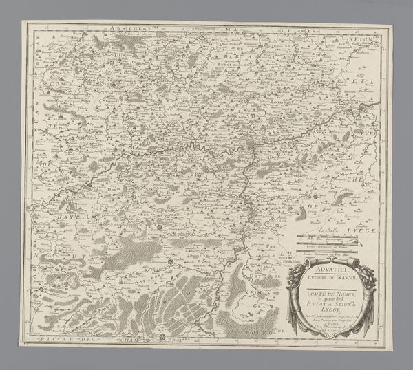
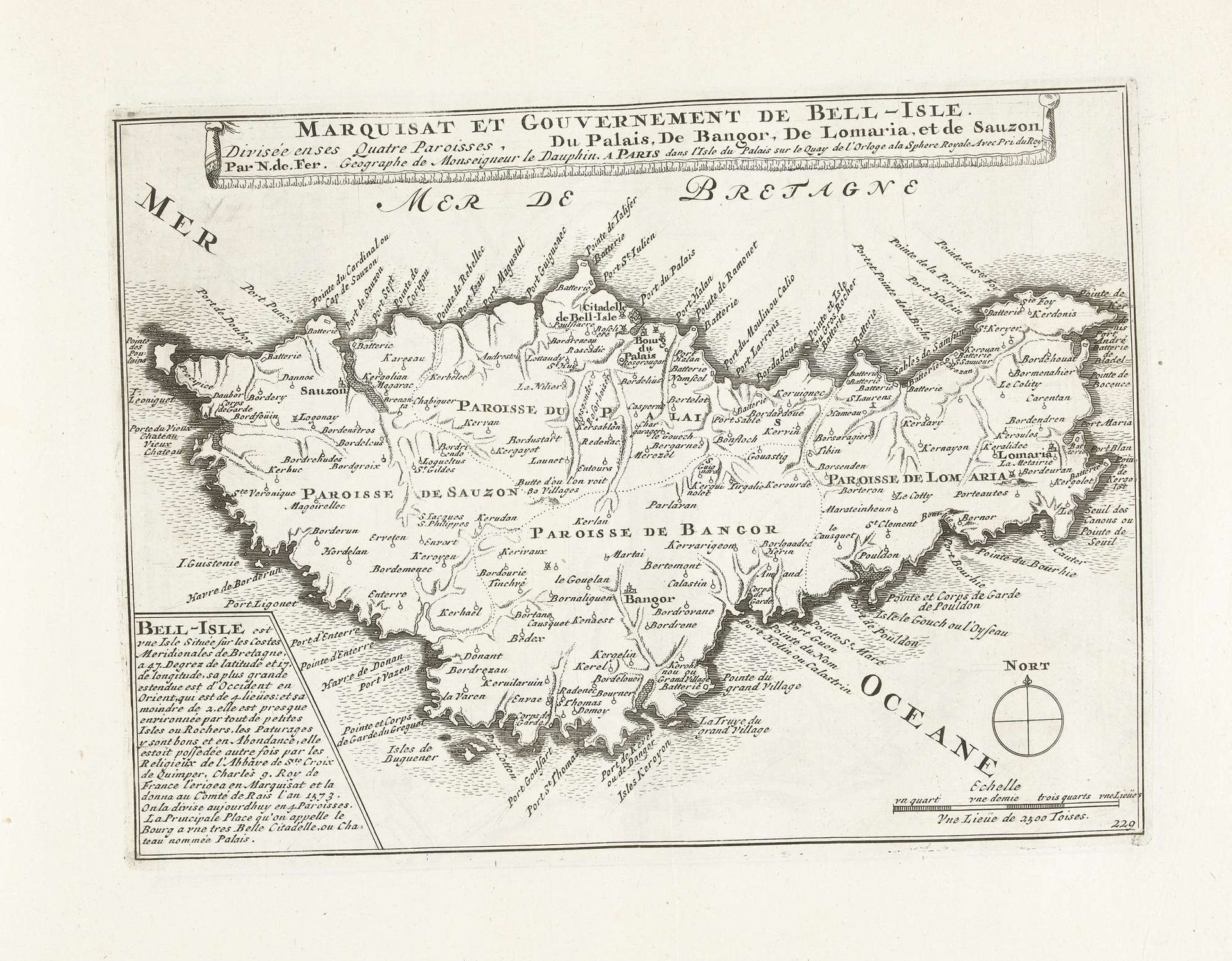
This is an anonymous map of Belle-Île-en-Mer, dating back to around 1702, created using etching. As an island off the coast of Brittany, Belle-Île was a strategic point of contention, reflected in the map’s detailed divisions and fortifications. In cartography, the act of mapping is never neutral, so the precision used here speaks to power, control, and ownership. France, like many European nations, was busy expanding its empire in the 18th century. Maps like this one were not just about geography; they were instruments of governance and military planning. Consider the human element absent from the image, the countless lives shaped by these borders. The very act of defining space, like gendering or racializing, is an act of power. This map reduces a lived reality to lines and labels, an attempt to contain the complexities of a place and its people within the frame of an empire.
Kaart van de markizaat van Belle Ile, ca. 1702
1702 - 1703
Anonymous
@anonymousLocation
RijksmuseumArtwork details
- Medium
- drawing, graphic-art, print, ink, engraving
- Dimensions
- height 210 mm, width 281 mm
- Location
- Rijksmuseum
- Copyright
- Rijks Museum: Open Domain
Tags
Comments
Share your thoughts
About this artwork
This is an anonymous map of Belle-Île-en-Mer, dating back to around 1702, created using etching. As an island off the coast of Brittany, Belle-Île was a strategic point of contention, reflected in the map’s detailed divisions and fortifications. In cartography, the act of mapping is never neutral, so the precision used here speaks to power, control, and ownership. France, like many European nations, was busy expanding its empire in the 18th century. Maps like this one were not just about geography; they were instruments of governance and military planning. Consider the human element absent from the image, the countless lives shaped by these borders. The very act of defining space, like gendering or racializing, is an act of power. This map reduces a lived reality to lines and labels, an attempt to contain the complexities of a place and its people within the frame of an empire.
Comments
Share your thoughts