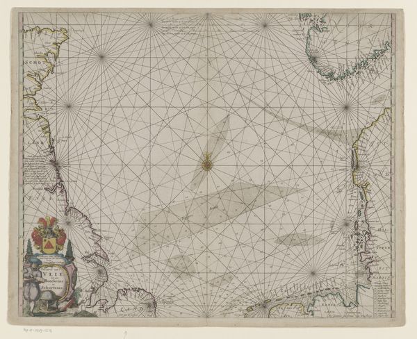
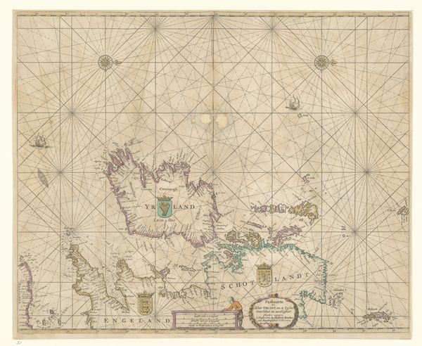
Paskaart van een deel van de Atlantische Oceaan met de westkust van Europa en een deel van Afrika 1681 - 1803
0:00
0:00
etching
#
baroque
#
etching
#
etching
#
geometric
Dimensions: height 520 mm, width 583 mm
Copyright: Rijks Museum: Open Domain
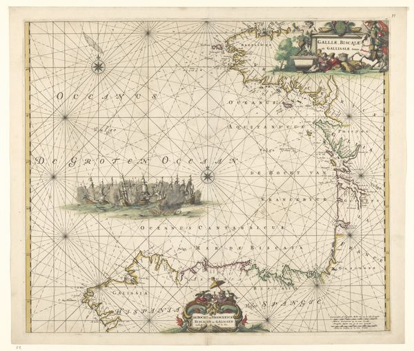
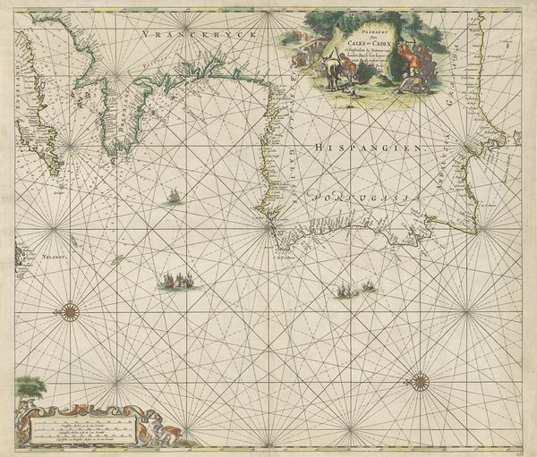
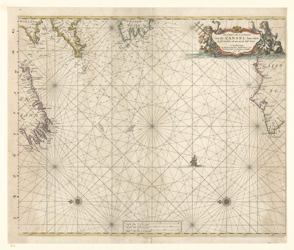
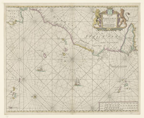
This is Johannes van Keulen's "Paskaart van een deel van de Atlantische Oceaan met de westkust van Europa en een deel van Afrika," a nautical chart detailing the Atlantic Ocean, Western Europe, and a portion of Africa. Van Keulen created this map during the height of the Dutch Golden Age, a period marked by unprecedented maritime exploration and trade. It is impossible to ignore the legacy of colonialism embedded within it. As a tool for navigation, it facilitated the movement of ships engaged in trade, but also in the brutal transatlantic slave trade. What stories would this map tell if it could speak of the countless voyages, the forced displacement, and the exploitation it guided? Consider the position of the mapmaker, safely charting courses from afar, versus the lived experiences of those whose lands and lives were impacted by these voyages. This map stands as a stark reminder of the intertwined nature of progress and oppression. It asks us to consider whose stories are told and whose are erased in the making of history.
Comments
No comments
Be the first to comment and join the conversation on the ultimate creative platform.
More like this