drawing, graphic-art, paper
#
drawing
#
graphic-art
#
paper
Dimensions: width 150 mm, width 101 mm
Copyright: Rijks Museum: Open Domain
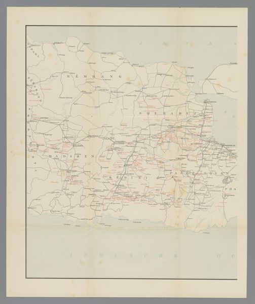
This is a map of the distance between Paris and Reims, about 156 kilometers, by Helio-Cachan. The printing process looks like a tight choreography of fine lines and bold forms. See how the artist uses texture to distinguish between different areas: densely packed dots suggest urban zones, while spare lines denote the countryside. It's like the artist is playing with positive and negative space to create a sense of depth and distance. The dark, amorphous shapes are like blobs of pure sensation. The map feels like a conversation between intention and accident. Those jagged edges of the paper almost echo the way a landscape refuses to be contained or defined. Thinking about other artists, you could compare this to some of Jasper John’s map paintings. The way both play with recognizability. It all makes you wonder about how we make sense of the world, one mark at a time.
Comments
No comments
Be the first to comment and join the conversation on the ultimate creative platform.
More like this