drawing, print, etching, paper, ink
#
drawing
# print
#
pen sketch
#
etching
#
old engraving style
#
hand drawn type
#
landscape
#
paper
#
personal sketchbook
#
ink
#
sketchwork
#
geometric
#
pen-ink sketch
#
thin linework
#
pen work
#
sketchbook drawing
#
history-painting
#
academic-art
#
initial sketch
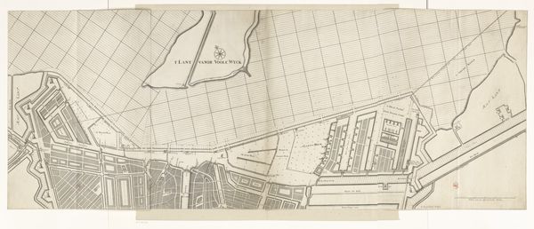
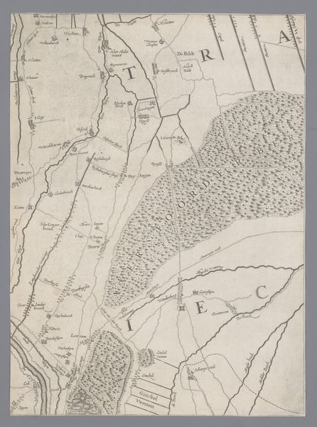
Dimensions: height 411 mm, width 975 mm
Copyright: Rijks Museum: Open Domain
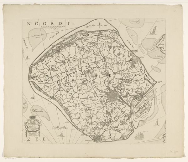
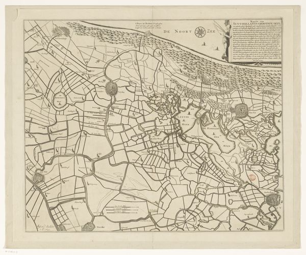
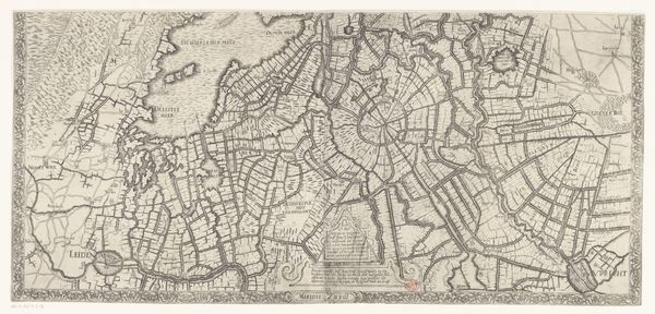
Curator: This detailed map, known as "Polderkaart van Eemland (onderste deel)," was created between 1666 and 1710, utilizing ink, etching, and drawing techniques on paper. Editor: My initial impression is one of meticulous order—an almost obsessive delineation of space. It looks quite dry, literally and figuratively! Curator: "Dry" is an interesting choice of words. It certainly prioritizes function over aesthetics. The map showcases the polder system of Eemland, reflecting the intense labor required to drain and manage the land. Each line represents a canal or a boundary, dictating agricultural production. Editor: I notice the lines. There is an insistent use of lines! The varying densities and orientations create distinct visual textures. See the upper-left area versus the areas further to the right? Each zone achieves unique rhythm through repetitive mark-making. The contrast helps articulate the form in a surprisingly pleasing, geometric abstraction. Curator: True, but I think understanding the societal impact of polder management—how it redistributed land ownership, the cooperative labor it demanded—provides a richer context. It's less about the aesthetics of line and more about the power structures imposed on the landscape. Editor: Well, let's not entirely dismiss the skill involved in rendering this information graphically. Look closely at the hand-drawn type and symbolic embellishments—ships at sea or the ornamental cartouche. These elements speak to a culture steeped in visual literacy, attempting to create meaning through these codes. Curator: Granted, but the real story lies in how the Eemland's transformation shaped social relations, property rights, and the labor itself to facilitate trade. Editor: It strikes me how an ostensibly functional object like this can invite multiple perspectives—a visual arrangement of fields and canals as an aesthetic artifact and evidence of intense human effort and engineering capabilities. Curator: Indeed. Studying this polder map reminds us to consider the interplay between representation, labor, and control in our environment.
Comments
No comments
Be the first to comment and join the conversation on the ultimate creative platform.
More like this