graphic-art, print, paper, engraving
#
graphic-art
#
baroque
# print
#
landscape
#
paper
#
engraving
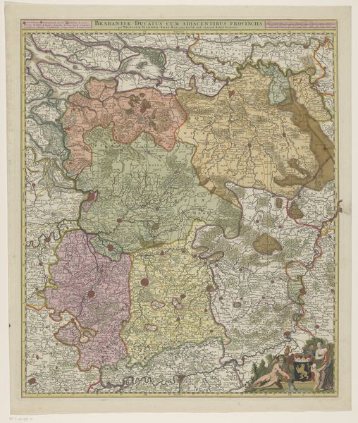
Dimensions: height 469 mm, width 563 mm
Copyright: Rijks Museum: Open Domain
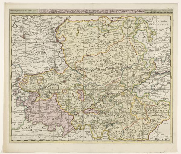
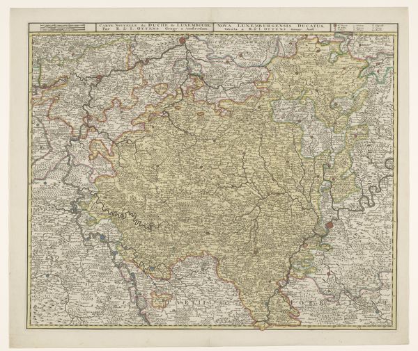
This is an anonymous map of the duchy of Luxembourg, made at an unknown date with engraving. The visual experience is dominated by its intricate lines, dividing the space into a complex network of territories and features. The colours – muted pinks, greens, and yellows – serve not just to differentiate areas but also to create a sense of depth and texture. The map’s structure reflects a desire to impose order on the landscape, turning physical space into a representational field. Each line and boundary signifies an assertion of control and a claim to knowledge. The use of colour is a semiotic system, with each shade potentially encoding information about the region's political or economic status. This cartographic exercise is not just about depicting space but also about shaping perceptions and understanding of power and territory. The very act of mapping challenges fixed, inherent meanings, presenting instead a constructed view of the world, one that continues to invite interpretation and re-interpretation.
Comments
No comments
Be the first to comment and join the conversation on the ultimate creative platform.
More like this