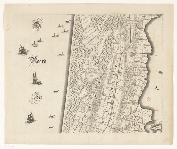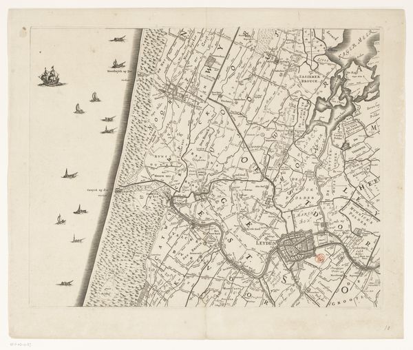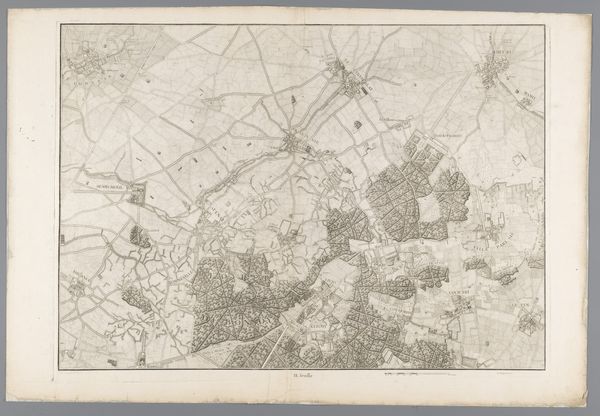
after 1723
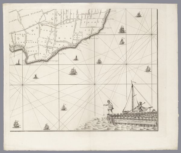
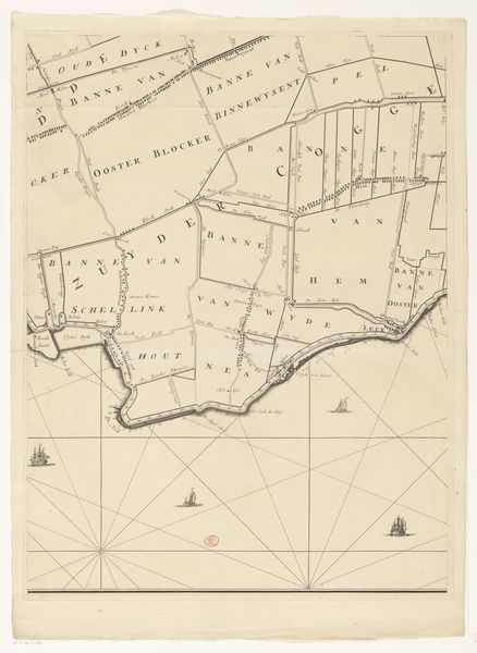
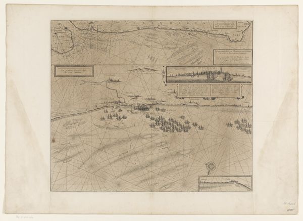
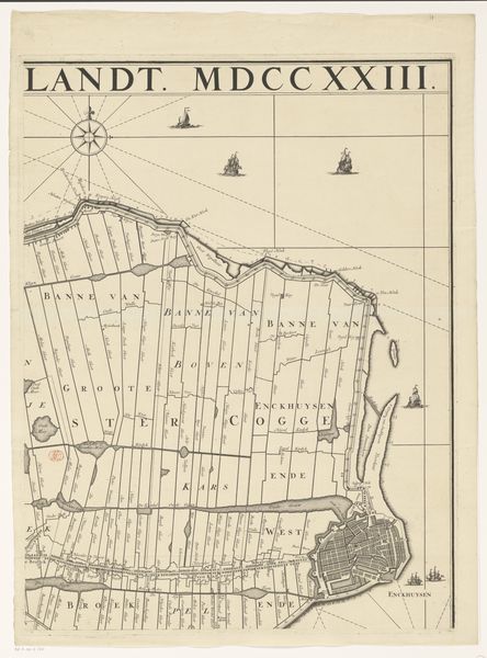
Kaart van het dijkgraafschap Drechterland (vierde deel van onder)
Hendrik de Leth
1703 - 1766Location
RijksmuseumListen to curator's interpretation
Curatorial notes
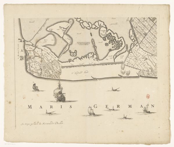
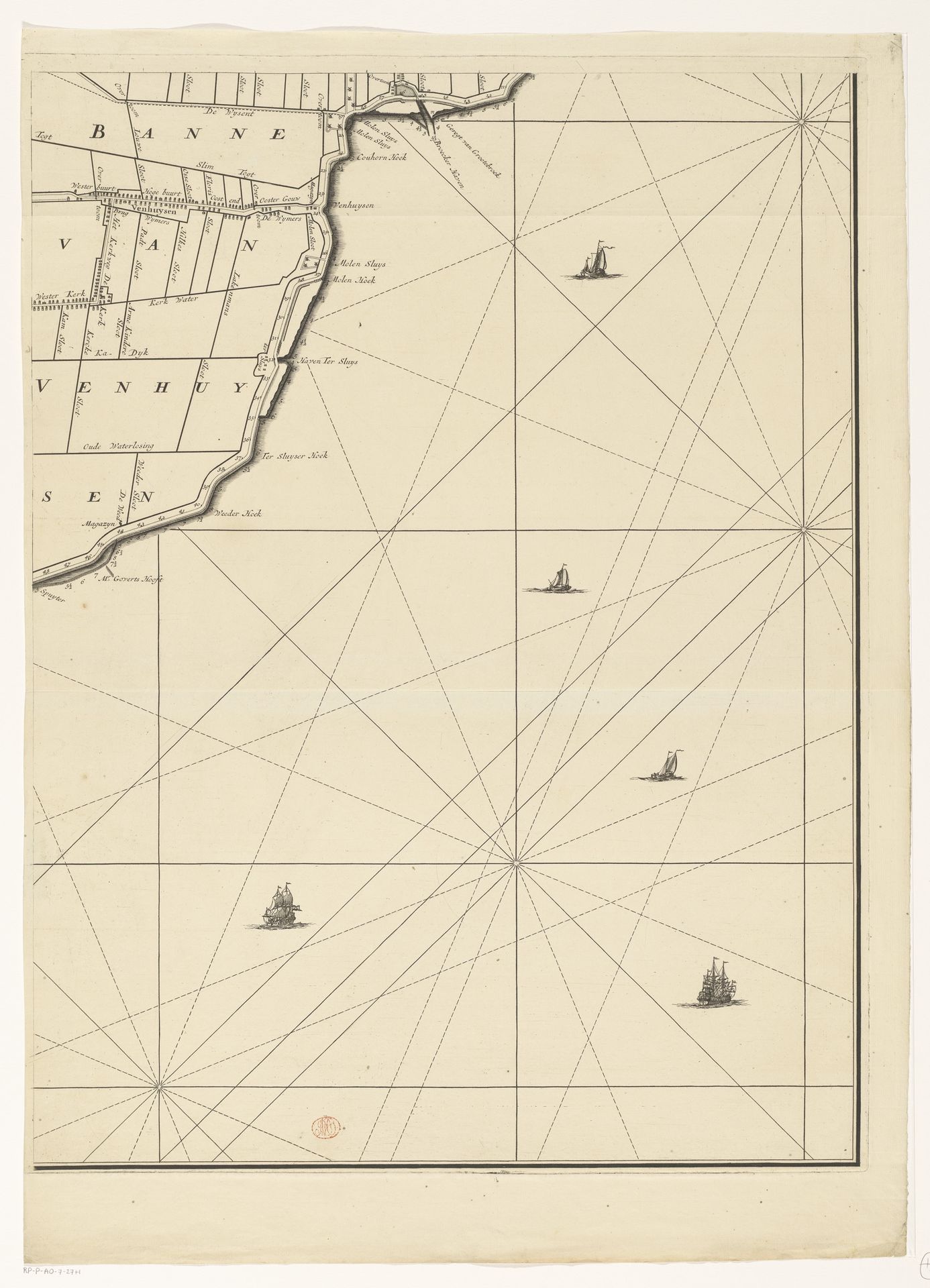
This is Hendrik de Leth’s map of Drechterland, made with engraving. Its neutral palette and precise lines create an immediate impression of scientific objectivity. The map divides space through a rigid grid system, a visual language that signifies control and order. The coastline, rendered as a thick, dark line, sharply contrasts with the delicate network of lines charting the sea. These lines aren't just navigational aids; they evoke a sense of imposed structure on the natural world. The ships scattered across the sea appear diminutive against this structured backdrop, symbolizing human endeavors dwarfed by systematization. De Leth’s map challenges conventional representations. It’s not simply a depiction of land and sea, but a statement about how humans perceive, measure, and ultimately control their environment through cartography. The map, with its emphasis on linear precision, reflects a broader cultural inclination towards rationalizing and quantifying the world. In this context, it is a cultural artefact of the Age of Enlightenment, reflecting the philosophical drive to categorize the world through systematic frameworks.