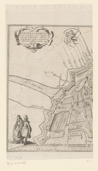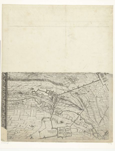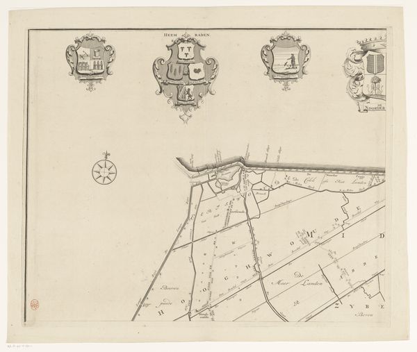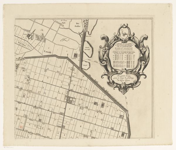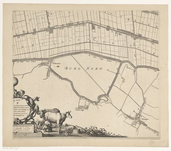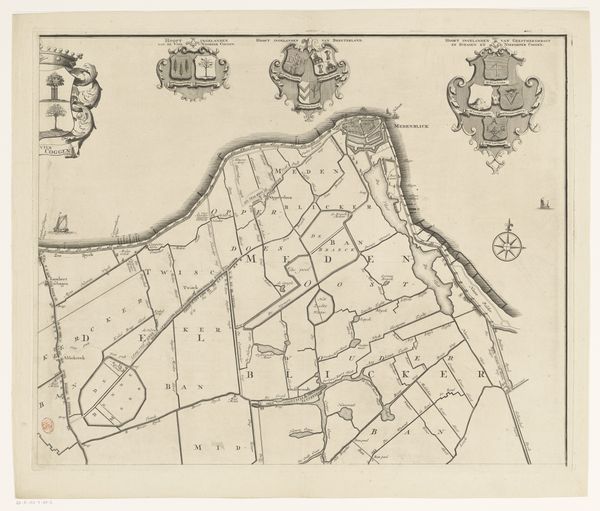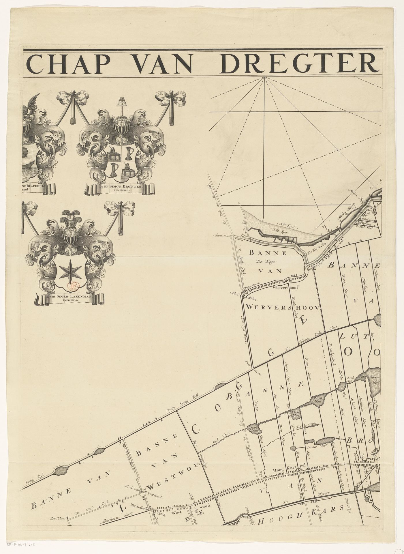
after 1723
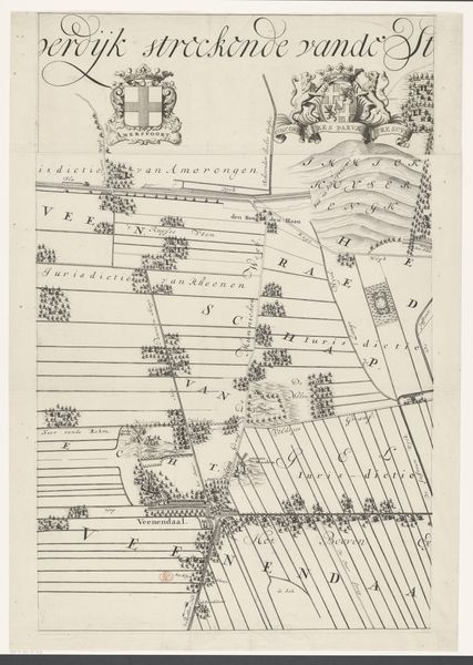
Kaart van het dijkgraafschap Drechterland (derde deel van boven)
Hendrik de Leth
1703 - 1766Location
RijksmuseumListen to curator's interpretation
Curatorial notes
Hendrik de Leth made this map of the Dutch region of Drechterland using engraving, sometime in the early 18th century. As an image, this map creates meaning through its combination of visual codes, cultural references, and historical associations. In the 1700s, the Dutch Republic was a major economic power, and this map reflects the social structures of its time, where land ownership and water management were crucial. The elaborate crests suggest wealthy landowners and powerful water boards called "dijkgraafschappen," which governed the region's complex system of dikes, canals, and polders. Maps like these weren't just about geography; they were about power, control, and the assertion of human authority over the landscape. Understanding this artwork involves researching Dutch social and economic history, as well as the history of cartography and water management. Examining archival records can reveal the names and roles of individuals and institutions involved in shaping this landscape.