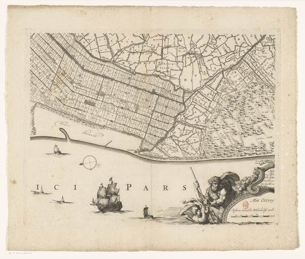
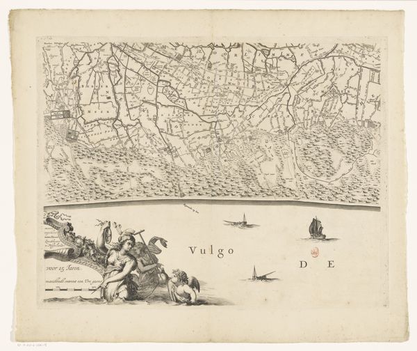
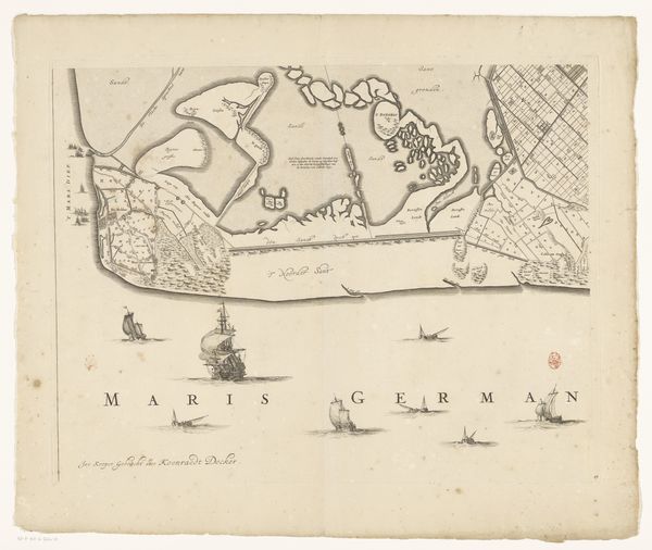
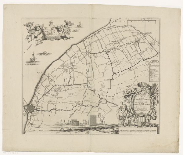
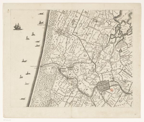
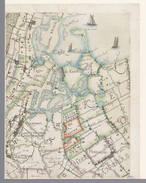
Kaart van het Hoogheemraadschap van Rijnland (zevende deel) 1647 - 1687
0:00
0:00
cornelisidanckerts
Rijksmuseum
drawing, print, paper, ink, engraving
#
drawing
#
baroque
#
pen drawing
#
dutch-golden-age
# print
#
pen sketch
#
old engraving style
#
landscape
#
paper
#
ink
#
geometric
#
cityscape
#
engraving
Dimensions: height 454 mm, width 564 mm
Copyright: Rijks Museum: Open Domain
Editor: Here we have Cornelis Danckerts' "Kaart van het Hoogheemraadschap van Rijnland (zevende deel)", made between 1647 and 1687. It's an ink drawing and engraving on paper. It looks so precise and ordered, like a carefully planned landscape. What historical context do you see in this work? Curator: This map provides a lens through which to view the fraught relationship between the Dutch and their landscape. Maps weren't simply representational; they were tools of power. Consider the 'polders' – land reclaimed from the sea – visible here. This speaks to a society actively reshaping its environment, a practice deeply tied to their economic prosperity and national identity, but also rife with the seeds of ecological consequence. How might we connect this 17th-century ambition to contemporary debates about land use and environmental justice? Editor: So, it’s more than just a map; it's about control and exploitation? The way land and water are divided seems very calculated. Curator: Precisely! Look at how space is demarcated. Who benefits from this organized layout? Whose access is granted or denied? Understanding land as property reveals deep-seated power dynamics. Consider the role of the "Hoogheemraadschap" – the water board – in enforcing these divisions. It’s crucial to understand the societal structures that enabled this vision and benefitted from it. Where do we see the impact of this historical ordering in contemporary Dutch society and global models of resource management? Editor: It's interesting to consider how seemingly neutral documents like maps can reveal so much about societal values and power structures. Curator: Exactly. Analyzing the historical context alongside visual elements pushes us to see beyond the aesthetic and confront the underlying ideologies at play, which are not separate from modern concerns about environmentalism. Editor: Thank you, I will now see maps very differently.
Comments
No comments
Be the first to comment and join the conversation on the ultimate creative platform.
More like this