print, engraving
#
dutch-golden-age
# print
#
old engraving style
#
pen work
#
engraving
Dimensions: height 489 mm, width 578 mm
Copyright: Rijks Museum: Open Domain
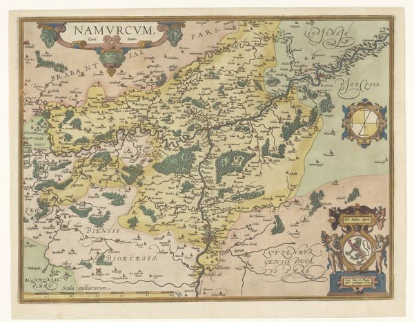
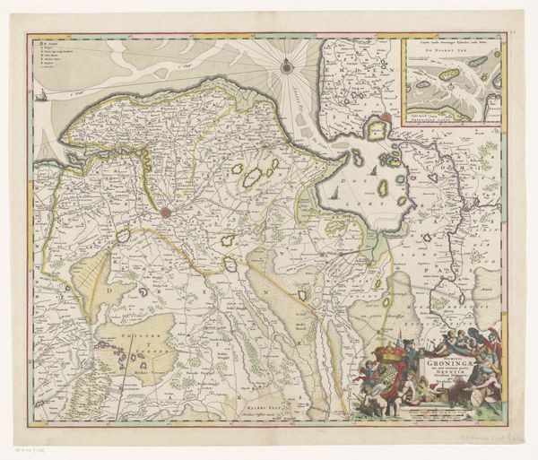
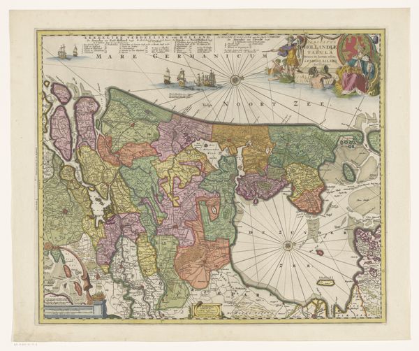
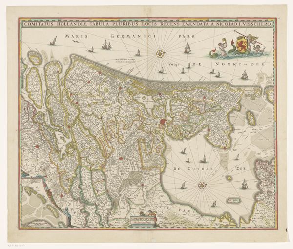
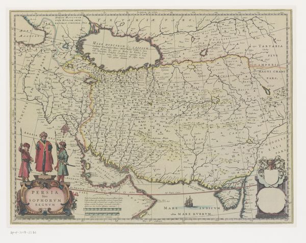
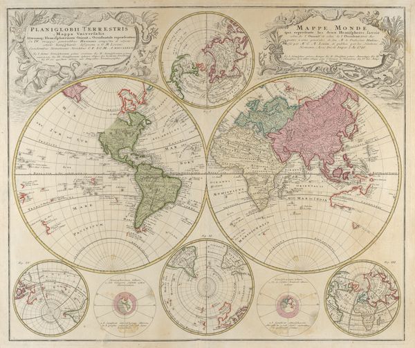
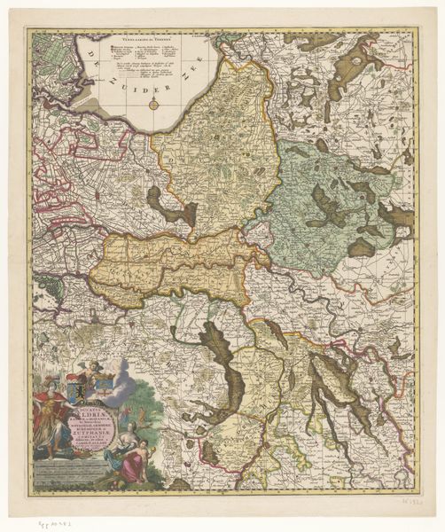
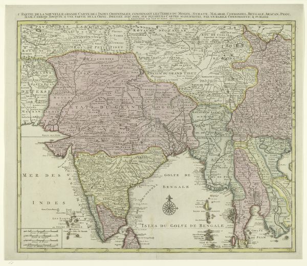
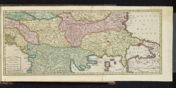
Frederik de Wit created this map of Asia, in Amsterdam during the Dutch Golden Age. Its visual codes and cultural references offer insights into the complex relationship between Europe and Asia in the 17th century. This was a time of burgeoning trade and colonial ambition, shaping the social and economic structures of both continents. The map reflects a European-centric view of the world, where geographical knowledge was power. Cartography was not just about charting lands; it was about claiming them, turning them into economic resources. The map is a silent witness to the voyages of discovery and the establishment of trade routes by the Dutch East India Company, an institution with immense economic and political power. These maps, distributed by the institution, served to shape public perception of faraway lands. By studying maps like these, alongside archival sources and trade records, historians can uncover the motivations and consequences of early globalization. The meaning of this map shifts as we consider its role in shaping the world we inhabit today.
Comments
No comments
Be the first to comment and join the conversation on the ultimate creative platform.
More like this