About this artwork
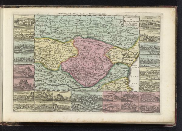
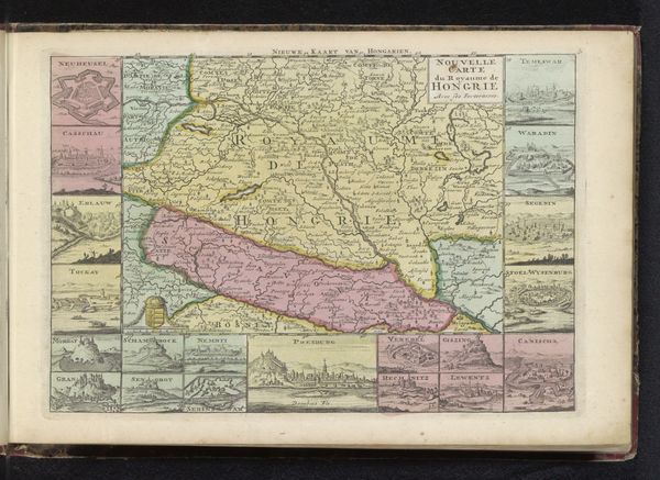
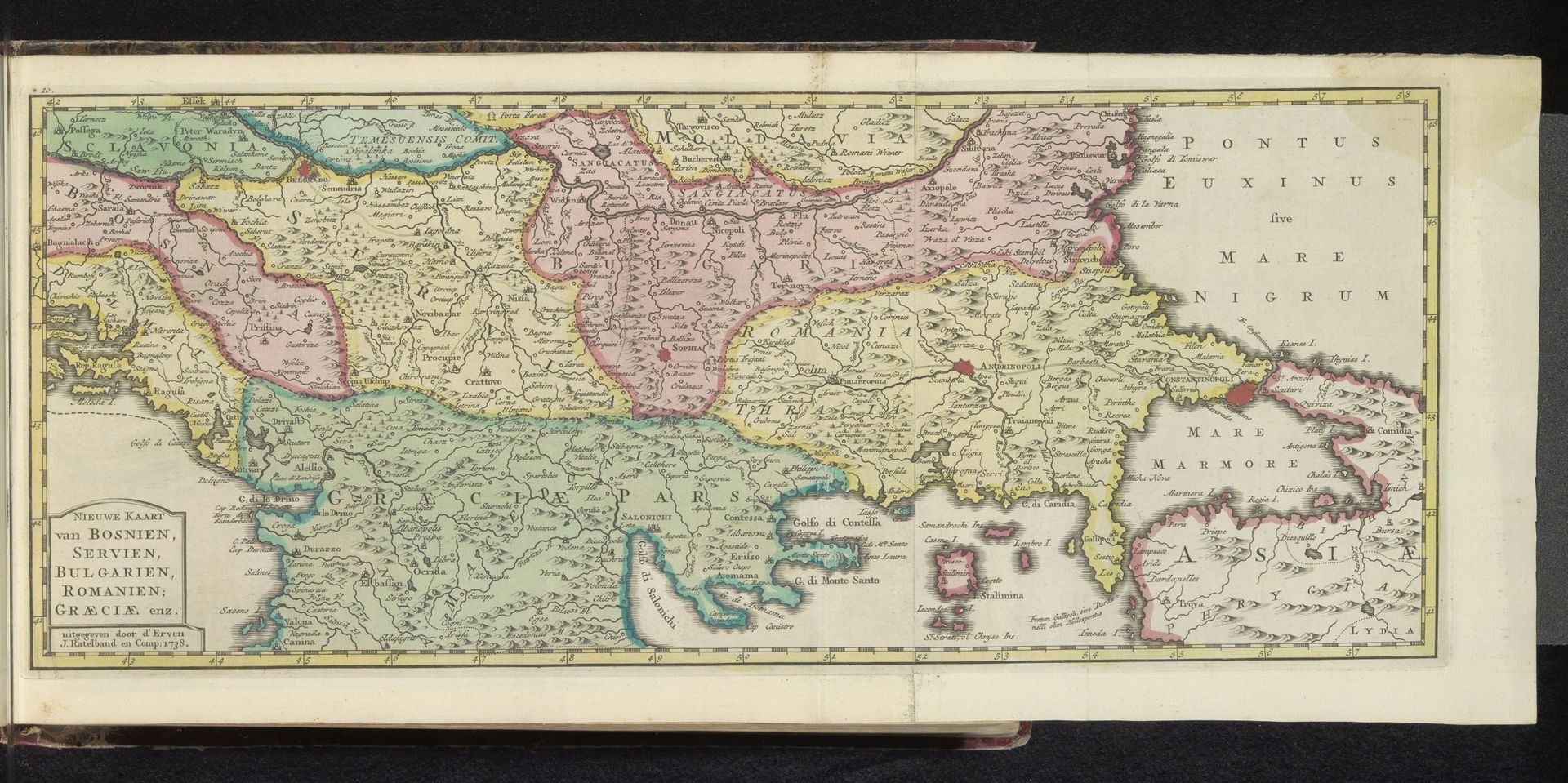
This is an anonymous map of the Balkans made with engraving. The composition is dominated by distinct blocks of color used to delineate the geographical regions, from the verdant greens of Greece, up through the creams of Bulgaria, to the pink of Romania. This visual separation immediately evokes a sense of the Balkans as a fragmented landscape. The map functions as a semiotic system, where each visual element—color, line, and text—acts as a signifier. The use of Latin text overlays the local geography, encoding it with classical historical narratives. The lines, though seemingly objective, are culturally and politically constructed, defining territories and borders that reflect specific power dynamics. Consider how the careful arrangement of these visual components contributes to the map's function as a tool for navigation and political representation, but also as a cultural artifact that carries the weight of historical perspectives and territorial claims. The very act of mapping can be seen as a way of imposing order and meaning onto a complex, ever-changing region.
Artwork details
- Medium
- drawing, coloured-pencil, print
- Dimensions
- height 176 mm, width 423 mm
- Copyright
- Rijks Museum: Open Domain
Tags
Comments
Share your thoughts
About this artwork
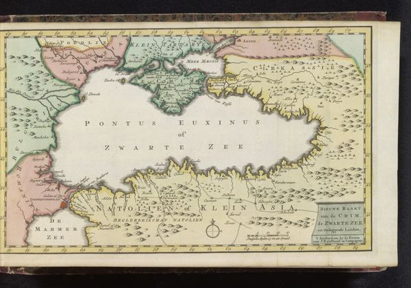
This is an anonymous map of the Balkans made with engraving. The composition is dominated by distinct blocks of color used to delineate the geographical regions, from the verdant greens of Greece, up through the creams of Bulgaria, to the pink of Romania. This visual separation immediately evokes a sense of the Balkans as a fragmented landscape. The map functions as a semiotic system, where each visual element—color, line, and text—acts as a signifier. The use of Latin text overlays the local geography, encoding it with classical historical narratives. The lines, though seemingly objective, are culturally and politically constructed, defining territories and borders that reflect specific power dynamics. Consider how the careful arrangement of these visual components contributes to the map's function as a tool for navigation and political representation, but also as a cultural artifact that carries the weight of historical perspectives and territorial claims. The very act of mapping can be seen as a way of imposing order and meaning onto a complex, ever-changing region.
Comments
Share your thoughts