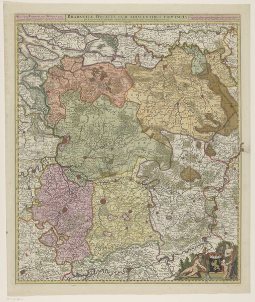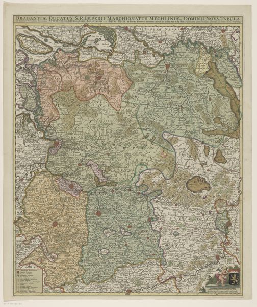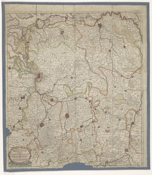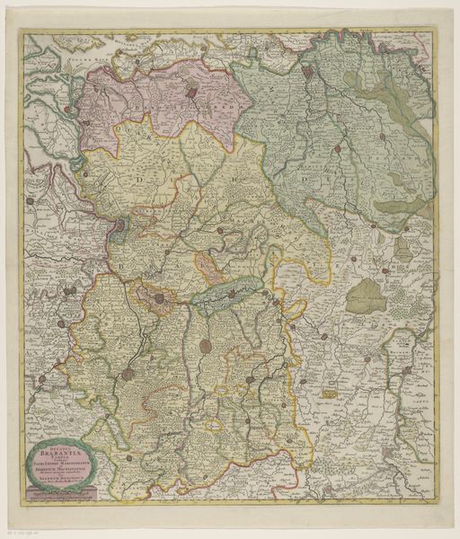
1702 - 1732
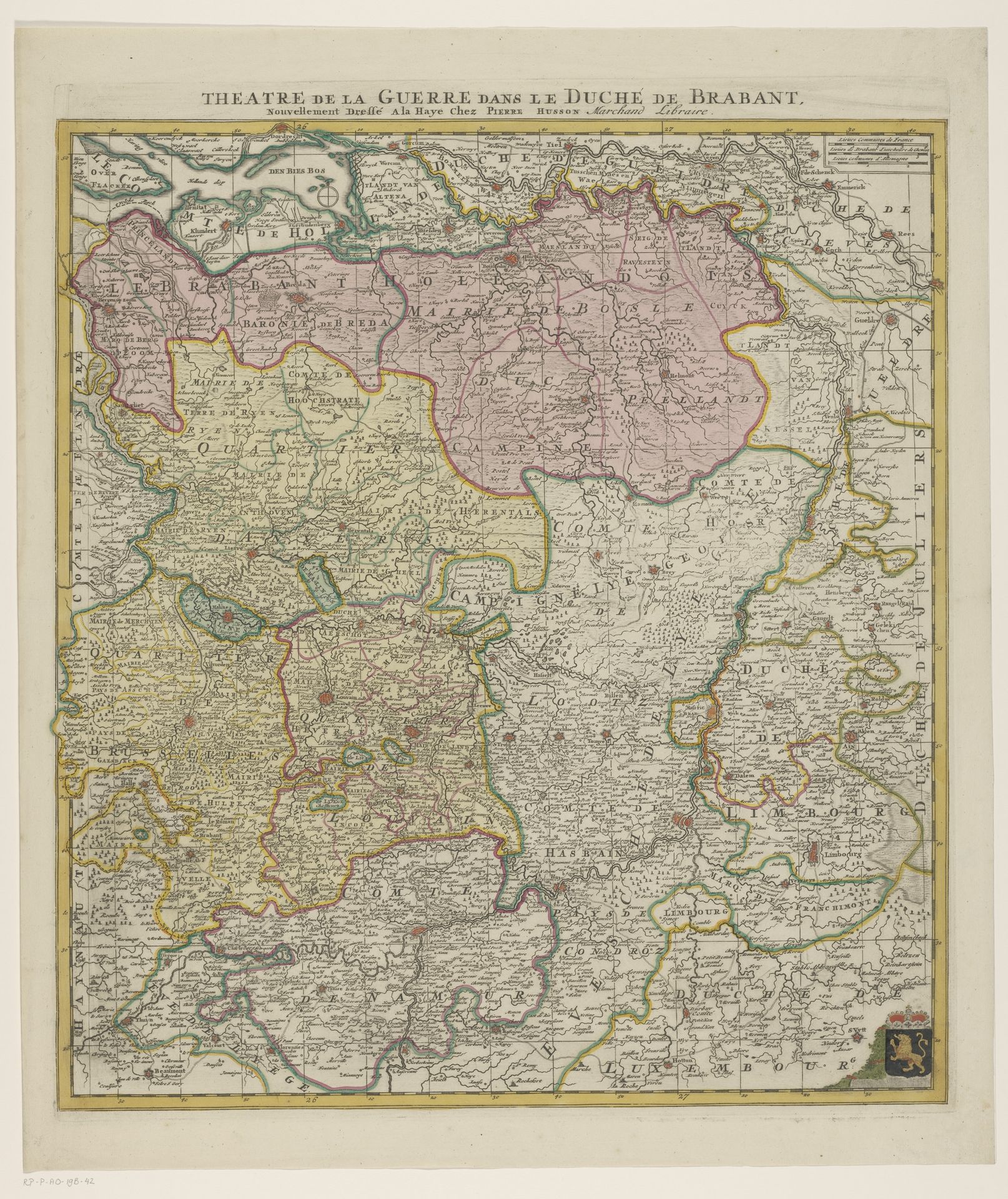
Kaart van het hertogdom Brabant
Listen to curator's interpretation
Curatorial notes
Editor: We’re looking at "Kaart van het hertogdom Brabant," or "Map of the Duchy of Brabant," dating from between 1702 and 1732. It's an etching, probably printed and then finished with watercolor. I'm struck by how much detail they packed into this image; it's like a beautifully chaotic bird's-eye view of the region. What leaps out at you when you look at it? Curator: You know, I'm immediately transported. Forget the objective "map"—this isn't just geography, is it? It's theater. "Theatre de la Guerre," it boldly declares. War isn't just fought, it's *performed* upon this land. Look at the ornate cartouches and coats of arms – bravado masquerading as mere illustration! Editor: Theater… I like that! So, it's not just about accuracy but about making a statement? Curator: Absolutely! Think of it as propaganda cloaked in pretty pastels. Brabant was a hotly contested region. This map visually asserts a claim, shouts "Look at our borders, our towns, our rightful domain!" Also, did you notice how rivers snake like silver threads, vital arteries binding the territory? They aren't merely geographic features; they are power lines. Editor: It’s like a carefully crafted argument, presented as fact. I guess maps can lie, in their own way. Curator: Precisely! Truth isn’t the point; persuasion is. Though, isn't that always the delightful tension simmering beneath any artistic endeavour? It certainly got *me* thinking. Thanks for pointing it out. Editor: Gladly! This made me reconsider what maps are about!