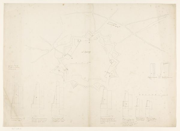
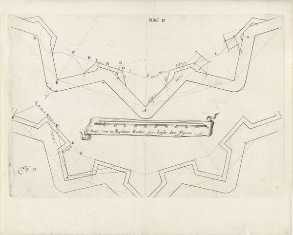
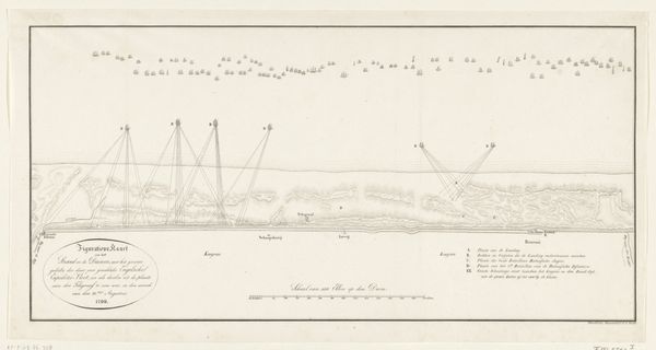
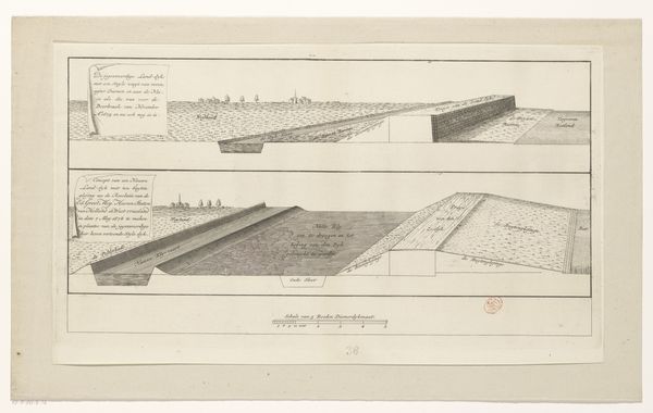
Kaart van de aanleg van de straatweg van Den Haag naar Scheveningen, 1664-1665 (eerste blad) 1667 - 1713
frederikdewit
Rijksmuseum
drawing, print, etching, paper, ink
drawing
dutch-golden-age
etching
landscape
etching
paper
ink
cityscape
Dimensions: height 423 mm, width 512 mm
Copyright: Rijks Museum: Open Domain
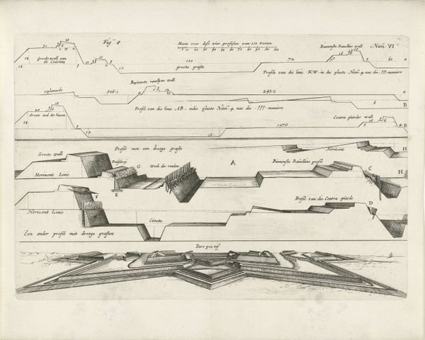
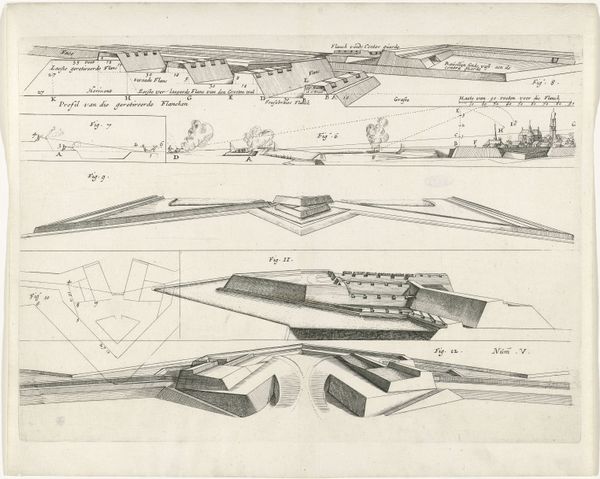
Frederik de Wit made this print in Amsterdam around 1664, illustrating the construction of the road from The Hague to Scheveningen. It’s an etching, meaning that the image was incised into a metal plate, probably copper, using a sharp needle. The plate would then have been inked and printed, leaving these precise lines. What’s fascinating is how the print visualizes the road as a feat of engineering. We see a cross-section, with careful notations explaining the dimensions of the route, the gradient, and the materials used. The image is dominated by an enormous triangle, presumably a surveying instrument. This wasn’t just a road, but a symbol of Dutch ingenuity and industriousness. The print celebrates not just the destination of the road, but the labor and technical expertise required to build it. We’re reminded that even the most functional objects, like roads, have a deep connection to human effort and innovation.
Comments
No comments
Be the first to comment and join the conversation on the ultimate creative platform.