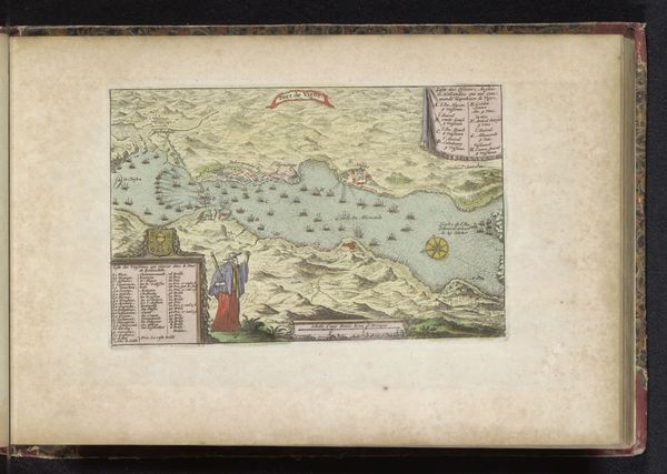
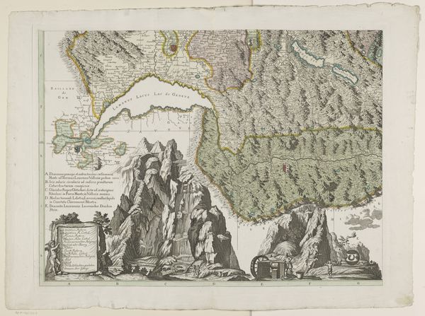
Gezicht op de rots van Gibraltar en een kaart van de straat van Gibraltar 1694 - 1737
0:00
0:00
pietervandenberge
Rijksmuseum
watercolor
#
water colours
#
baroque
#
landscape
#
watercolor
Dimensions: height 166 mm, width 250 mm
Copyright: Rijks Museum: Open Domain
Pieter van den Berge created this map of Gibraltar and the surrounding strait. This detailed engraving offers a glimpse into the geopolitics of the late 17th and early 18th centuries, a period marked by intense maritime competition and colonial expansion. At the time this map was made, Gibraltar was a strategic point of contention. Control over this area meant control of passage between the Atlantic and the Mediterranean, a vital artery for trade and naval power. Van den Berge's map reflects the growing interest in cartography as a tool of power, documenting territories and asserting claims. It emphasizes how geographical knowledge was intrinsically linked to political ambition, and in many cases the subjugation of people. Consider how this image, with its blend of scientific observation and artistic representation, served to reinforce a Eurocentric worldview. It invites us to reflect on the legacy of colonialism and its enduring impact on our understanding of borders, territories, and identities.
Comments
No comments
Be the first to comment and join the conversation on the ultimate creative platform.
More like this