drawing, paper, ink
#
drawing
#
baroque
#
landscape
#
paper
#
ink
#
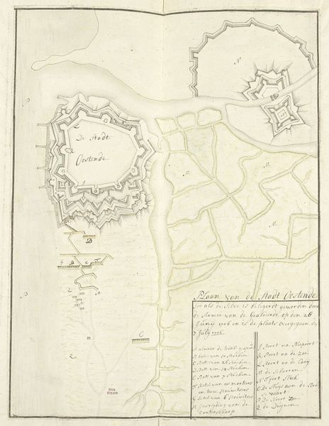
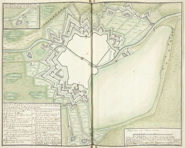
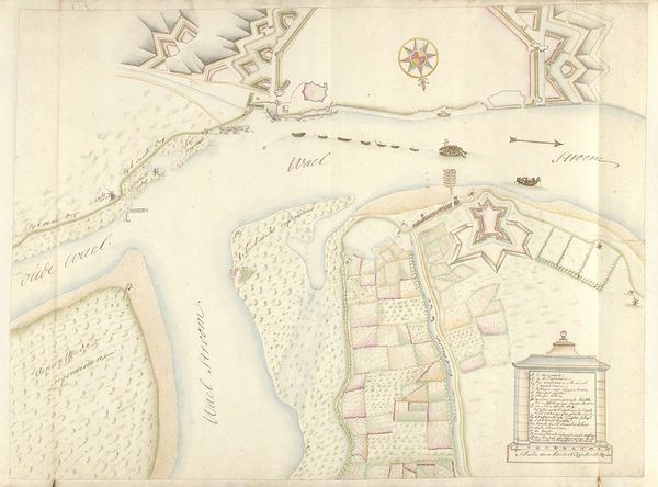
cityscape
Dimensions: height 515 mm, width 820 mm
Copyright: Rijks Museum: Open Domain
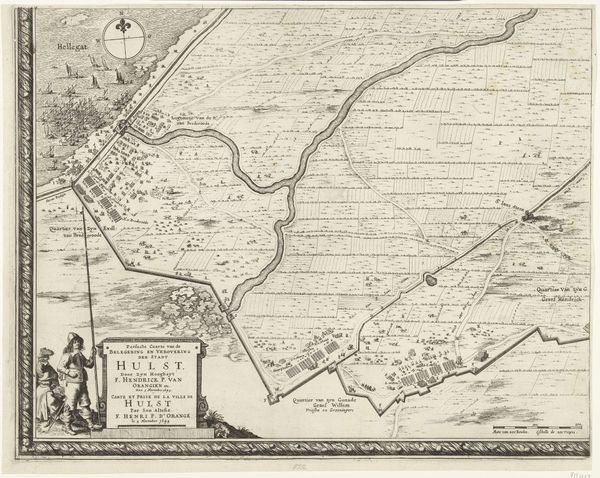
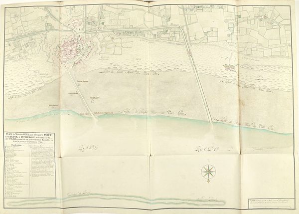
Samuel Du Ry de Champdoré created this map of the Kieldrechtse polder around Hulst between 1701 and 1715. Note the prominence of the compass rose, an ancient symbol not just of navigation, but also of destiny and orientation in a chaotic world. The compass rose here evokes not just geographical direction but also the human desire for control and understanding of one’s place in the world. Across millennia, the symbol of the compass appears—from ancient mariners' charts to contemporary corporate logos. The star, an early iteration of the compass, shares roots with the Babylonian eight-pointed star, a symbol for the goddess Ishtar—or Venus—herself associated with guidance and fate. Consider how such symbols embed themselves in our collective consciousness, recurring in diverse forms across history. The emotional power of these symbols lies in their ability to tap into primal human needs: to find direction, to assert control, and to understand our place in the vastness of existence.
Comments
No comments
Be the first to comment and join the conversation on the ultimate creative platform.
More like this