drawing
#
drawing
#
map drawing
#
perspective
#
geometric
#
cityscape
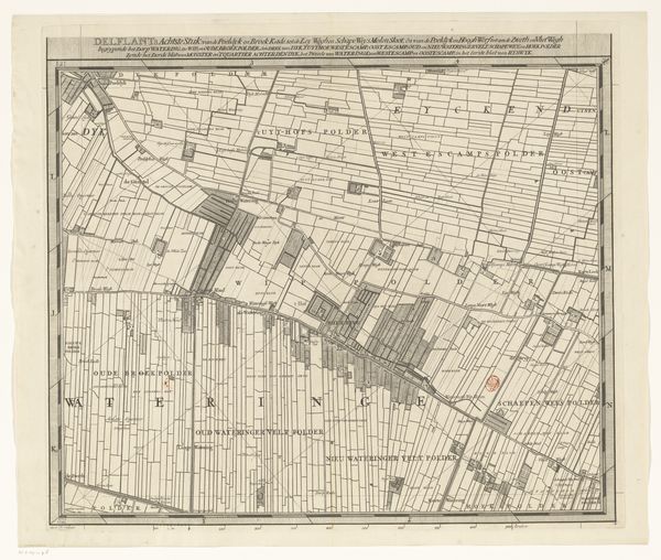
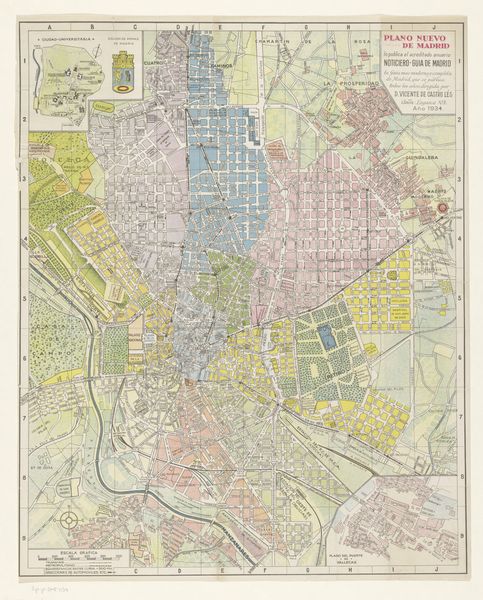
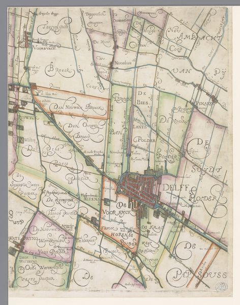
Dimensions: 301 mm (height) x 289 mm (width) (bladmaal)
Here we have Niels Larsen Stevns’s map of Florence. It's an intricate depiction of the city, rendered in earth tones, which creates an intimate, almost tactile experience, reminiscent of aged parchment. The city is laid out in a grid-like structure that is bisected by the flowing Arno River. This division emphasizes both the order and organic nature of urban development. Lines demarcate roads and buildings, creating patterns that echo the city's structural logic. The texture seems aged and slightly worn, suggesting historical depth. The map functions not just as a guide but as an artifact, embodying cultural codes of cartography and urban planning. Its aesthetic draws attention to the layers of meaning embedded in urban spaces, suggesting how maps and cities are constructed through signs and representations. It's a commentary on how we perceive and codify our world. It is an invitation to consider the city as a text.
Comments
No comments
Be the first to comment and join the conversation on the ultimate creative platform.
More like this