drawing, print, paper, ink
#
drawing
#
baroque
# print
#
paper
#
ink
#
geometric
#
cityscape
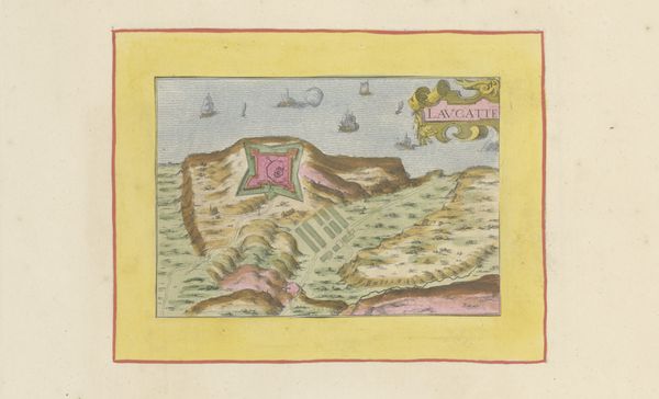
Dimensions: height 104 mm, width 151 mm, height 532 mm, width 320 mm
Copyright: Rijks Museum: Open Domain
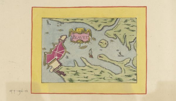
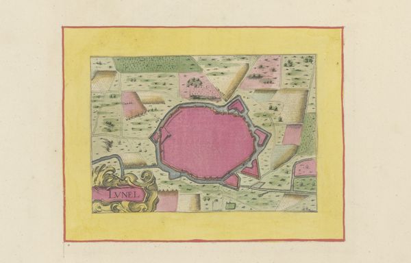
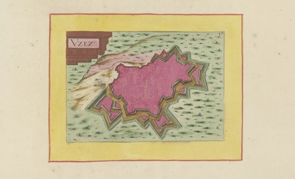
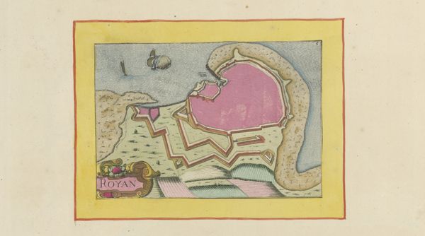
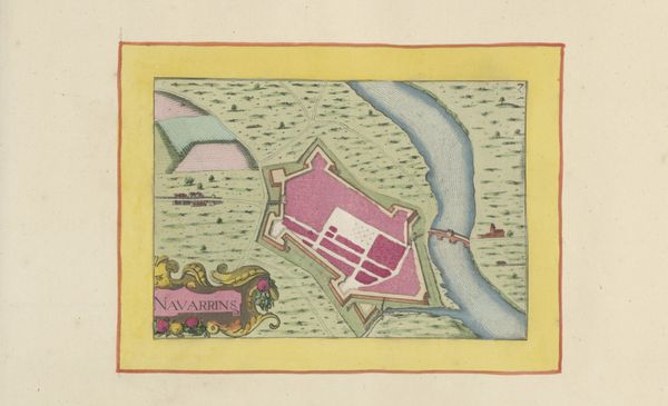
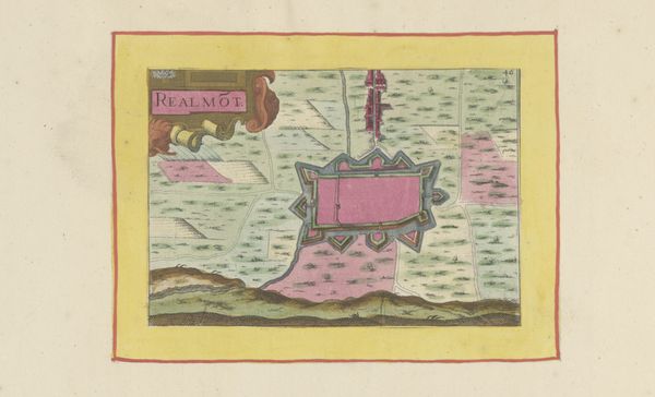
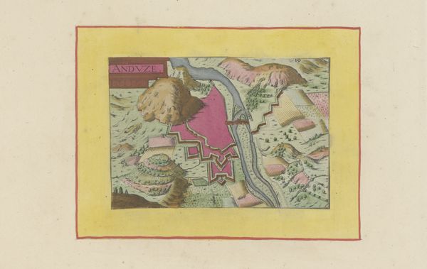
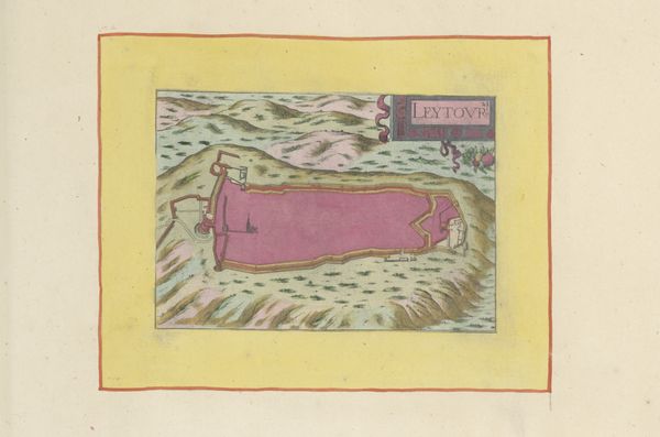
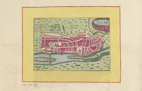
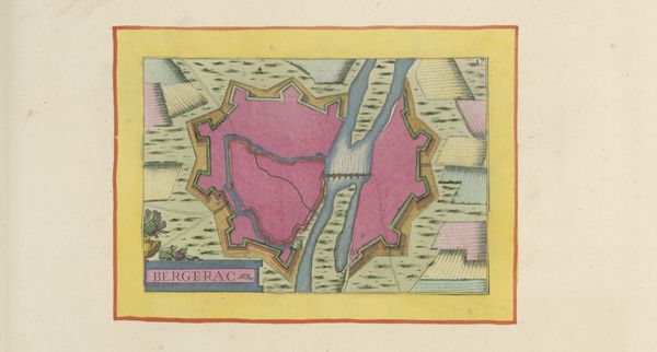
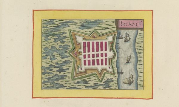
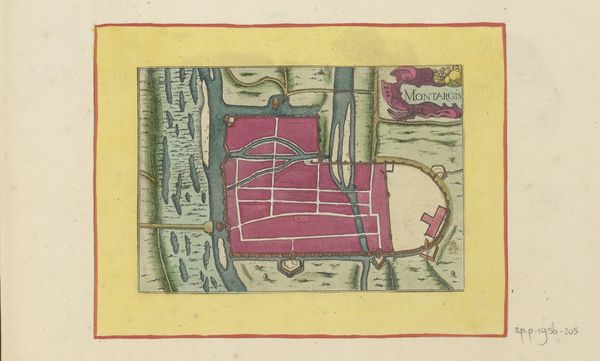
This is an anonymous, undated map of Castres, rendered in ink and watercolor. Mapping has always been a tool to chart, claim, and ultimately control territory, and this map is no exception. Its highly stylized aesthetic presents a bird's-eye view of the city, dominated by its fortifications. The use of vibrant colors and precise lines speaks to the aspirations of the city's rulers, aiming to project power and order. Consider the position of Castres, a town in southern France with a tumultuous history marked by religious conflict between Catholics and Protestants, particularly during the 16th and 17th centuries. Maps like this one served not only as guides but also as propaganda, emphasizing the strength and resilience of the city in times of strife. It invites us to reflect on the relationship between power, representation, and the lived experiences of those within its walls, and encourages us to consider whose perspectives are prioritized in the making of history.
Comments
No comments
Be the first to comment and join the conversation on the ultimate creative platform.
More like this