drawing, paper, ink
#
drawing
#
baroque
#
dutch-golden-age
#
landscape
#
paper
#
ink
#
coloured pencil
#
cityscape
Dimensions: height 103 mm, width 147 mm, height 532 mm, width 320 mm
Copyright: Rijks Museum: Open Domain
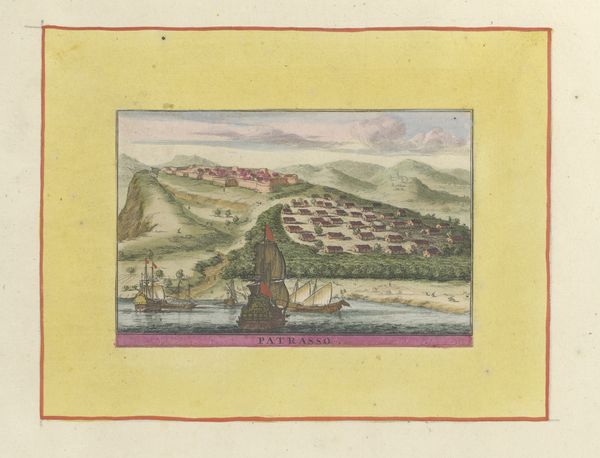
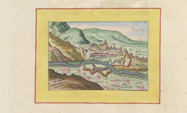
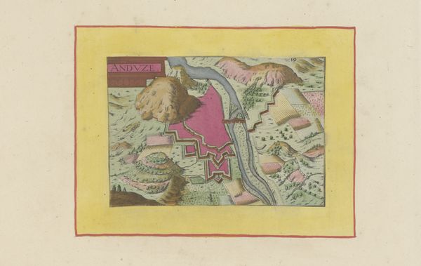
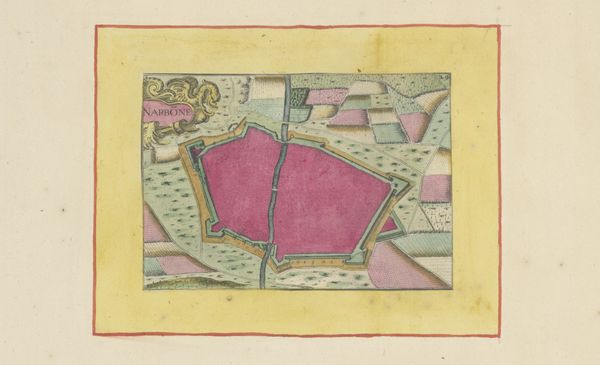
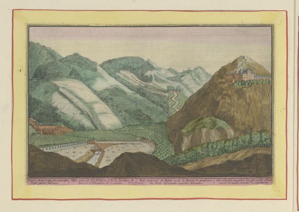
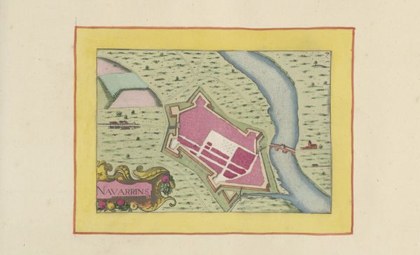
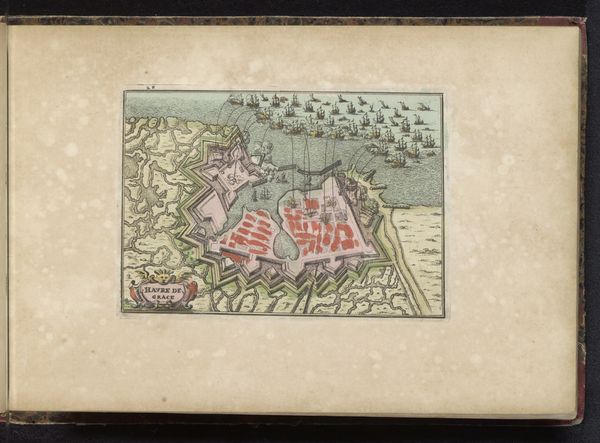
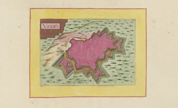
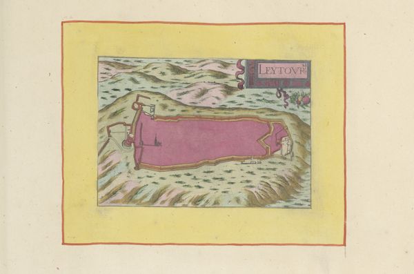
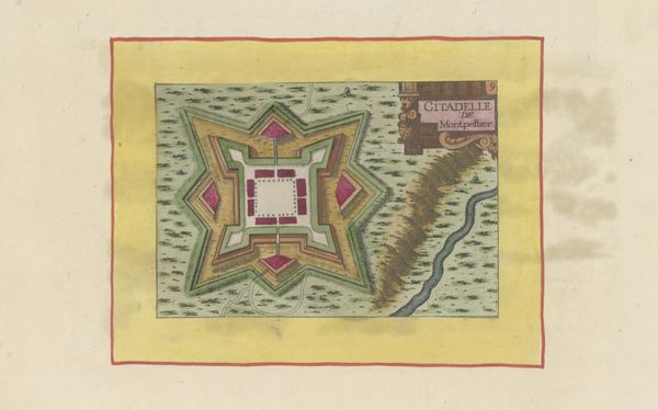
Curator: What a find. Today we’re looking at a drawing from 1638, “Plattegrond van Leucate.” It's an ink and coloured pencil drawing on paper. And, as the title suggests, it’s a city plan, or more accurately, a plan of a fortified city and its surroundings. Editor: It feels more like a daydream than a map. I keep getting drawn to the pink fortress. It’s perched so precariously, like a misplaced sugar cube on a rugged landscape. Curator: The pink definitely catches the eye. Considering this dates from the Dutch Golden Age, there’s probably a whole web of colonial power at play. Maps like these weren't just about knowing the territory, but about controlling it, claiming it. The level of detail gives us a sense of power over the landscape. Editor: Right, and the ships in the background imply a flow of resources and people, both voluntary and, much more likely, coerced. Still, I find something so charming about the naive rendering of the topography. It’s as if the artist were more concerned with conveying an *idea* of the place than its precise geographical reality. Look at how the hills just sort of roll into each other. It’s oddly comforting. Curator: Comforting until you consider the strategic function. These cityscapes were essential tools for military planning, which directly influenced urban design in the early modern period. It’s about legibility, defense, and ultimately, domination. Editor: I see what you mean. Even the seemingly gentle, rolling hills suddenly feel like strategic vantage points. It makes you wonder who this map was for, whose gaze it was designed to please. Curator: Exactly! And thinking about who *didn't* have access to this kind of information... the communities impacted, erased, or strategically occupied. Maps weren’t, and aren't, neutral documents. They're active participants in power dynamics. Editor: So much history, meticulously rendered. It almost feels too pretty to contain all that darkness, you know? Curator: Well, beauty can be deceptive, can't it? Maps invite us to dream, to explore… while often obscuring less palatable truths about control and access. Editor: A dreamy drawing, a bit dangerous. I'll certainly never look at a map the same way again.
Comments
No comments
Be the first to comment and join the conversation on the ultimate creative platform.
More like this