drawing, watercolor
#
drawing
#
landscape
#
watercolor
#
cityscape
#
early-renaissance
#
watercolor
Dimensions: height 105 mm, width 151 mm, height 532 mm, width 320 mm
Copyright: Rijks Museum: Open Domain
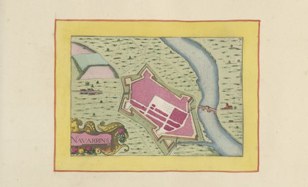
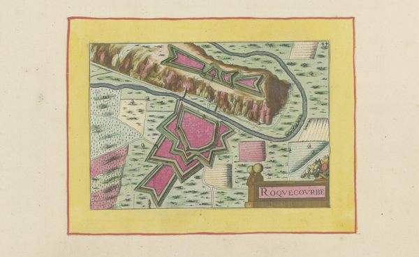
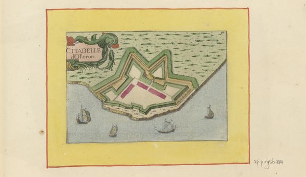
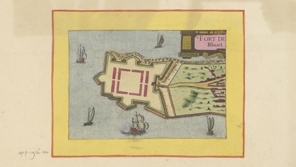
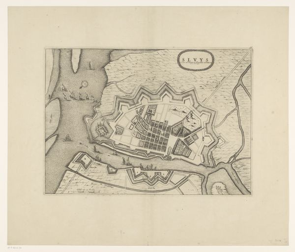
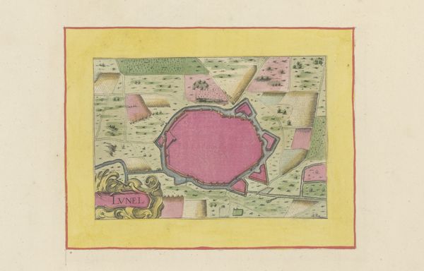
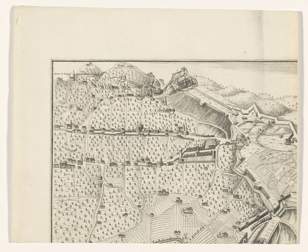
This is an anonymous plan of Saint-Martin-de-Ré and its neighboring fort. It was probably made in the 17th century using ink and watercolor. The image creates meaning through the use of visual codes common to cartography and architectural drawing of the period. It shows the town of Saint-Martin, located on an island off the west coast of France, and a star-shaped fort nearby, both clearly marked as centers of power and control. Considering the historical context, France was frequently at war during the 17th century. This map highlights the importance of military fortifications. The star shape of the fort is not just decorative. It was a cutting-edge design intended to give defenders a strategic advantage. Historians might use sources like military archives and town records to better understand the social and institutional history. Art like this serves as a reminder that images are always shaped by the social conditions in which they were made.
Comments
No comments
Be the first to comment and join the conversation on the ultimate creative platform.
More like this