print, etching
dutch-golden-age
etching
landscape
etching
geometric
cityscape
Dimensions: height 555 mm, width 331 mm
Copyright: Rijks Museum: Open Domain
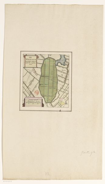
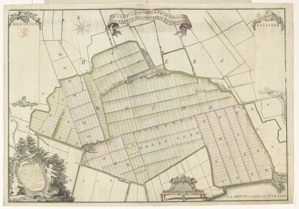
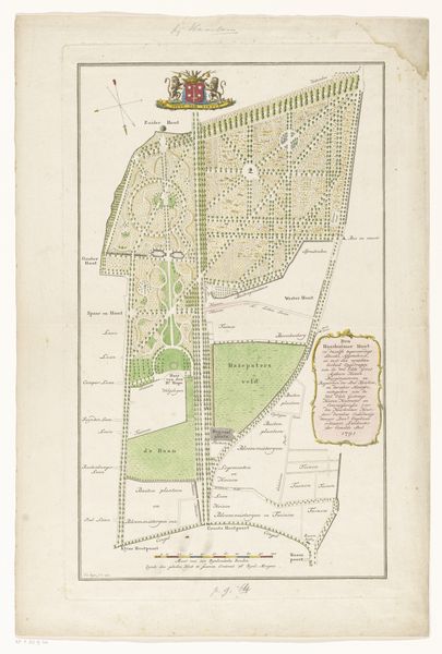
This is an anonymous map of the Wormer polder, made with pen and watercolor. Polders, these low-lying tracts of land enclosed by dikes, hold within them a complex history of human intervention in the natural world. They can speak to the intertwined issues of land ownership, agricultural labor, and ecological transformation. This map details individual land plots, each rectangle a world of cultivation and toil. We see a vivid portrayal of the social structures and power dynamics inherent in land use. Maps like this were tools of governance and control, defining property rights. Yet, they also reflect the intimate connection between people and the land they inhabit. This map invites reflection on the labor, the lives, and the communities shaped by the pursuit of agriculture. Consider how such representations shape our understanding of belonging and stewardship.
Comments
No comments
Be the first to comment and join the conversation on the ultimate creative platform.
More like this