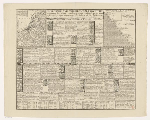
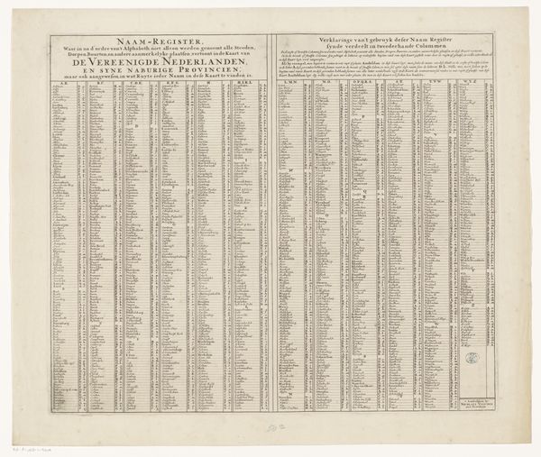
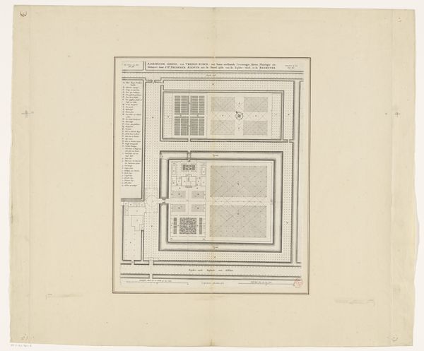
Historische en geografische beschrijving van de Zeventien Provinciën Possibly 1701 - 1750
0:00
0:00
print, paper, engraving
#
baroque
#
dutch-golden-age
# print
#
landscape
#
paper
#
history-painting
#
engraving
Dimensions: height 488 mm, width 575 mm
Copyright: Rijks Museum: Open Domain
This is "Historische en geografische beschrijving van de Zeventien Provinciën," a print made by Henry Desaguliers. The key material here is paper, of course, but it's the inking and printing process that truly bring this object to life. Look closely, and you'll see how the ink sits slightly raised on the page, a testament to the labor-intensive techniques of early printmaking. Each line, each letter, meticulously engraved onto a plate and then pressed onto the paper, transferring not just information but also the very essence of the engraver's skill. The density of the text and heraldic devices speak to the intense amount of work required for its production, which was carefully organized to provide information about the seventeen provinces. Consider the social context of this map. It’s not just a geographical document; it's a statement of power, commerce, and knowledge, all rendered through the craft of printmaking. In this way, the work challenges our traditional categories, demanding that we see the artistry inherent in what might otherwise be considered a purely functional object.
Comments
No comments
Be the first to comment and join the conversation on the ultimate creative platform.
More like this