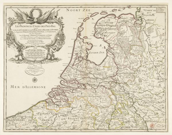
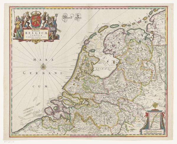
Kaart van de Republiek der Zeven Verenigde Nederlanden en omliggende gebieden (linkerdeel) 1692
0:00
0:00
pieterimortier
Rijksmuseum
print, engraving
#
dutch-golden-age
# print
#
old engraving style
#
landscape
#
geometric
#
engraving
Dimensions: height 582 mm, width 445 mm
Copyright: Rijks Museum: Open Domain
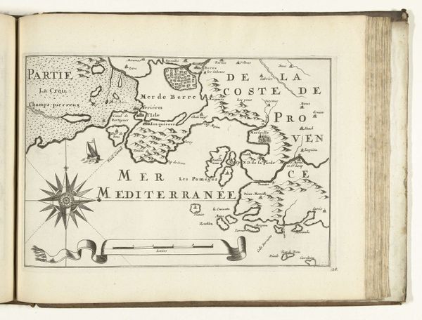
Editor: So, this is Pieter Mortier's "Kaart van de Republiek der Zeven Verenigde Nederlanden en omliggende gebieden (linkerdeel)", an engraving from 1692. It strikes me as much more than a simple map; the details, the allegorical figures, make it quite ornate. How should we interpret its purpose and appeal to its intended audience? Curator: This map isn't just about geographic accuracy, is it? It is very much a declaration of power and national identity. The elaborate ornamentation—the cherubs, coats of arms, and dramatic sea battles—served to glorify the Dutch Republic and its place on the European stage. Consider that maps like these played a crucial role in shaping public perception, visually asserting sovereignty during a time of intense political maneuvering and warfare. Editor: That's fascinating. The battles, almost romanticized amidst the geographic precision... it seems contradictory. Was that typical of mapmaking at the time? Curator: Exactly. The depiction of those conflicts contributed to a narrative of Dutch strength and resilience, but it also normalized the ongoing state of war, creating a sense of shared destiny and justifying territorial claims. Notice where and how power is centered within the visual framework of the map. Ask yourself, what kind of messages do these images tell its audiences about its leaders? How does it reflect its cultural context and society? Editor: So, this map functions almost like propaganda? It is trying to boost morale and present a favorable image of the Dutch Republic during a tumultuous period? Curator: Precisely. Its public role in celebrating Dutch national identity also served political interests, reinforcing both internal cohesion and external perception of the Republic as a formidable power. Editor: I had never considered a map in this way. Now I realize I was seeing only its aesthetic qualities and not its function within that specific socio-political context. Curator: And that’s exactly what studying art history through a social lens helps us to do! It's a constant negotiation between understanding aesthetic intentions and historical conditions that shape its very perception.
Comments
No comments
Be the first to comment and join the conversation on the ultimate creative platform.
More like this